Cleveland woke up on the chilly side this morning, with local readings near 19°F and bright sun already cutting through the cold. The deep freeze will not stick around for long. A warming trend builds on Friday, February 13, 2026, with afternoon temperatures expected to rebound into the upper 30s.
Afternoon Rebound
Friday afternoon should stay mostly sunny, with highs near 38°F and a light southwest breeze of about 2–8 mph helping soften up the slush. From there, temperatures are projected to climb into the 40s through the weekend and into early next week, which will chew away at the recent snowpack and start thinning shoreline ice, according to the National Weather Service.
When Rain Moves In
Late Tuesday night into Wednesday, February 17–18, is the next time frame to watch. A warm front could slide through and bring rain to the region, with the best shot at wet weather on Wednesday. Forecasters expect mostly light totals of roughly a third of an inch or less, so think damp commutes and sloppy sidewalks rather than a major soaker.
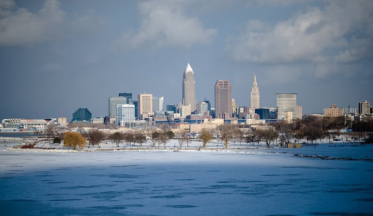
Lake Ice And River Safety
Lake Erie remains largely ice covered, but the milder air and southwest winds may loosen floes and push ice east of the islands, especially tonight into Saturday morning. Riverfront residents should stay alert for rising flows and isolated ice jams. For neighborhood updates, check the City of Cleveland snow and ice information and plow tracker.
What This Means For Your Commute
Afternoons will be the safest window for errands and travel this weekend, while mornings remain the coldest with lingering slick spots and the chance for overnight refreeze. Build in some extra time for your drive, keep a warm layer handy, and skip walking on any ice, no matter how solid it looks.


.jpg)