Cleveland woke up to a rare winter treat Sunday morning: mostly clear skies, temperatures near 40°F, and the kind of mild air that actually lets you see your driveway. Highs are headed for the mid-40s this afternoon, with a light southwest breeze keeping the thaw going through the rest of the weekend. Monday and Tuesday will turn even milder, setting up a wetter midweek system that could tangle commutes and stir up trouble along the lakeshore.
This Afternoon And Tonight
Skies turn partly sunny this afternoon with a high near 46°F and a gentle southwest wind around 5 mph. Tonight clouds increase, with a low near 33°F and only a slight chance of light sprinkles. Melting snow may lead to patchy runoff, so do not be surprised by wet pavement in shaded or low-lying spots.
Midweek Soaker And Lake Ice Concerns
A warm front pushes through Tuesday night into Wednesday, making Wednesday the warmest day of the week with highs near 57°F and rain likely. That rain, paired with a melting snowpack, could nudge some rivers higher and raise the risk of isolated ice jams. Forecasters lay out the timing and potential impacts in their outlooks, according to the NWS Great Lakes Ice Outlook.
How To Prepare
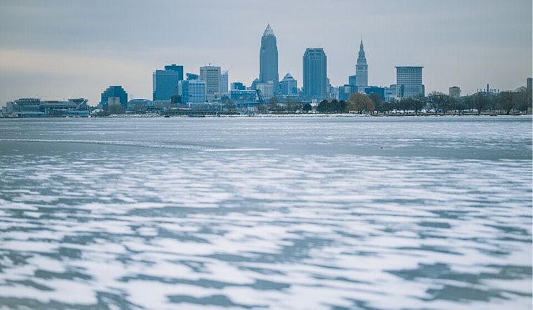
If you have errands or a morning commute on Wednesday, plan on giving yourself extra time for slower traffic and reduced visibility in the rain, and avoid driving through standing water no matter how tempting the shortcut looks. Stay off Lake Erie ice and keep a wide distance from shorelines while ice is shifting. If you see someone in trouble, call 911 and do not attempt a rescue on unstable ice. Forecasters will update river and marine statements as conditions change, so check the NWS before heading out.


.jpg)