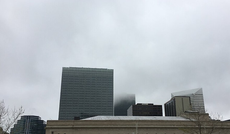
Cleveland drivers are waking up inside a cloud Thursday morning, with fog and mist choking visibility and temperatures hovering near 34F. A Dense Fog Advisory is in place through 11 a.m. EST, with visibility often under a half mile and some spots worse, making the morning commute a slow, white-knuckle crawl before skies lift and temperatures climb into the mid-50s this afternoon.
Dense Fog Through Mid-Morning
Patchy dense fog will continue to drop visibility below a half mile at times, with pockets of near-zero visibility in river valleys and low-lying neighborhoods. The advisory runs through 11 a.m. Thursday, and forecasters are urging drivers to “slow down, use your headlights, and leave plenty of distance ahead of you,” as recommended by the National Weather Service. For the official warning text and the latest updates, see NWS Cleveland.
Afternoon Thunder Risk, Then Rain Tonight
The fog should loosen its grip by late morning, but the rest of Thursday stays unsettled. There is a slight chance of thunderstorms early in the afternoon, around 1 to 2 p.m., followed by steadier rain later in the day. Highs are expected near 56F. Thursday night brings a higher chance of rain, with totals generally under a quarter inch, though locally higher amounts are possible in any stronger storms. Plan on wet pavement and slower traffic for the evening commute as rain spreads out across the area.
Friday Gusts And Weekend Chill
A cold front will sweep through Thursday night and Friday, kicking up stronger southwest winds on Friday. Sustained winds are expected in the teens, with gusts climbing into the 30 mph range, especially west of the I 71 corridor. Winds should ease Friday night as temperatures drop. Saturday turns noticeably cooler and mostly cloudy. By Sunday into Monday, a round of lake-enhanced snow is possible, with light accumulations likely for much of the region and a few inches possible in the snow belt, depending on the exact storm track.
Commute Tips And Where To Check Conditions
If you have to head out in the thick of the fog, slow down on the slick, damp roads, use low-beam headlights, and give yourself extra stopping distance. Avoid nonessential travel until visibility improves. For live road conditions and incident reports, check Ohio’s 511 system at OHGO and keep an eye on local transit alerts for any service changes. Along the lakeshore, use extra caution near the water, as the combination of warming air and stronger winds later in the week can shift ice floes and create additional hazards.


