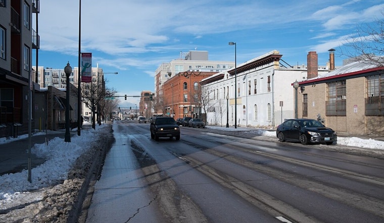
Denver woke up under clear skies and a crisp 39°F Thursday morning, with brisk northwest winds around 30 to 35 mph reported near 5:35 a.m. MST on February 12, at KBJC. Those early gusts should be short lived. The metro is expected to warm into the upper 50s this afternoon, even as winter hangs on tight in the high country.
Mountain Travel Today
The National Weather Service has a Winter Storm Warning in effect for parts of the high country until 11 a.m. MST Thursday, February 12, along with Winter Weather Advisories for surrounding mountain zones. Wind-driven snow will cut visibility and leave mountain passes slushy, especially above 9,000 feet, according to the National Weather Service. If you are aiming for the mountains this morning, plan on extra travel time, pack traction devices, and be ready for conditions that can shift quickly from merely messy to downright dicey.
Plains Commute And Afternoon Outlook
Across the Denver metro, the story is a lot calmer. Look for a mild afternoon with a high near 58°F and just a slight chance of light rain showers after about 11 a.m. Forecasters put the odds around 20 to 25 percent, and any rainfall should stay under a tenth of an inch. A few brief showers could still make for wet pavement and slower speeds, so it is worth a quick check of real-time road and mountain pass conditions on COtrip before you roll out.
Weekend Outlook
Once this mountain system exits, the region looks set to slide into a warmer and drier pattern. Highs should land in the upper 50s on Saturday, then climb into the low to mid 60s on Sunday. If you are already plotting a high country escape next week, keep an eye on updates, since another system could bring a shot at mixed precipitation by midweek, according to the National Weather Service.


.jpg)