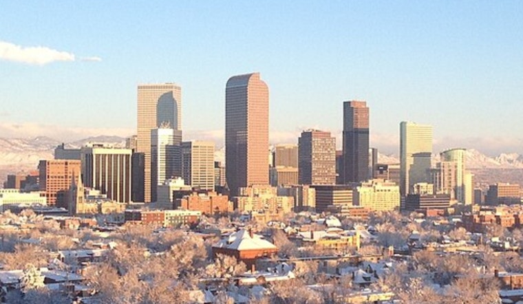
Clear skies hang over the Denver metro this morning, with temperatures sitting near 46°F and humidity on the modest side. A strong, springlike warm‑up is on tap today, sunny and breezy with a high near 63°F, but it is the wind that will try to steal the spotlight from late morning into the afternoon. This is a good day to tie down patio furniture, close up loose tarps, and think twice about leaving anything lightweight unattended, since gusty crosswinds could make for tense moments on exposed overpasses and I‑25 ramps.
Afternoon Winds Pick Up
By late morning into early afternoon, winds will swing around to the west‑northwest and crank up, with sustained speeds generally in the 8–16 mph range. Gusts could jump into the mid‑20s to low‑30s across the urban corridor and other exposed stretches, with ridgetops and the I‑70 corridor likely feeling the strongest blasts. High‑profile vehicles should plan for some extra steering work. Winds are expected to back off somewhat by evening as cooler drainage flows reestablish across the region. According to the National Weather Service, today brings plenty of sun along with breezy west‑northwest winds and locally gusty conditions.
Fire Weather Watch Friday
The National Weather Service has posted a Fire Weather Watch for Friday morning through Friday afternoon for portions of the eastern plains and the I‑70 corridor. Relative humidity is forecast to tumble into the single digits and teens while winds stay gusty. Forecast guidance points to afternoon RH values near 9%–16% in some locations and gusts that could approach critical thresholds over the northern plains, a combination that raises the risk of rapid fire spread. If you had pile burns, outdoor welding, or any spark‑producing work on the calendar, it is safer to postpone until humidity recovers and winds calm down. The official watch text and zone breakdown are available from the National Weather Service.
Weekend Outlook
Temperatures stay above normal into Friday and Saturday, with highs climbing into the upper 60s to around 70, before a pattern shift brings more clouds later Sunday. There is a growing chance for light showers from late Sunday into Monday across the plains, and forecast models point to another round of mountain snow late this weekend into early next week that could affect high passes. For background on the early warm‑up and gusty pattern, see Spring Tease, Howling Gusts, per Hoodline.
Safety And Burn Rules
With dry air and afternoon wind teaming up to boost wildfire danger, it is wise to avoid any open burning and to hold off on yard work that might throw sparks while the Fire Weather Watch is in play. Winter indoor‑burning restrictions and local burn rules remain in force across the Denver metro, so check the Colorado Department of Public Health and Environment before firing up a wood stove or scheduling a planned burn. If you spot smoke or an unplanned fire, contact local emergency services right away and report it to your fire district.


