Detroit is getting a softer version of winter this weekend, with the city trading in bitter cold for a milder setup that still comes with a sneaky twist late at night.
Today, the official observation at KDET reported clear skies and a temperature near 32°F. Mostly sunny conditions are expected today, with a high near 40°F and a light west-southwest breeze around 5 mph. As winds go light and skies stay clear overnight, the stage is set for patchy freezing fog late Saturday into early Sunday in low-lying and inland spots.
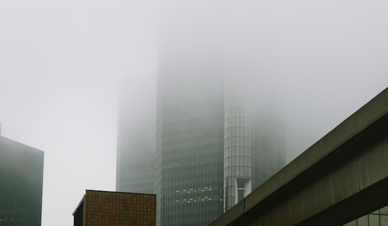
Fog Tonight, Then Back To Sunshine
Patchy freezing fog is possible after 10 p.m. Saturday, mainly overnight into early Sunday, with lows near 28°F. Forecasters say pockets of brief dense freezing fog could quickly cut visibility and cause issues on untreated surfaces. Daytime heating should lift the fog by mid-morning, giving way to partly sunny skies and a high near 42°F on Sunday, according to the National Weather Service.
How It Could Affect Your Commute
If you are out driving early Sunday, plan for reduced visibility and the potential for slick spots on bridges, overpasses and untreated roadways. Give yourself extra time, slow down and stick with low beams in any fog.
Saturday afternoon, on the other hand, looks like a decent window for errands or a quick walk in the neighborhood, with winds under 10 mph and temperatures topping out in the low 40s in most areas. Overnight, keep an eye on temperatures away from the lake, where surfaces can slip back below freezing and turn damp spots into icy patches.
Midweek Warmup And Rain Chances
A Pacific system is expected to bring rain late Tuesday night, February 17, into Wednesday, February 18. Temperatures are forecast to climb into the 40s and possibly the low 50s on Wednesday, which would favor rain over snow for the Detroit area.
The best chance for steady light rain comes Tuesday night into Wednesday, followed by a cooler pattern with spotty mixed precipitation later in the week.
Bottom Line
No watches or warnings are in effect for Southeast Michigan, but brief freezing fog tonight could still create short-lived hazards on untreated surfaces. Check the latest forecasts before any overnight or early morning driving, and enjoy a few milder, mostly dry days before rain chances return Tuesday night into Wednesday.


