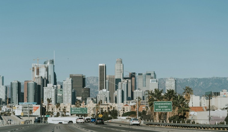
Downtown Los Angeles woke to mild, mostly cloudy skies on Saturday, February 14, with temperatures headed for a high near 69°F this afternoon and light south southeast breezes. Tonight will stay mostly cloudy with a low around 50°F, as clouds thicken ahead of Sunday, February 15. The real change arrives late Sunday night into Monday, February 16, when a strong Pacific storm is expected to bring multi-day rain, gusty south winds and a chance of thunderstorms across the basin.
What To Expect
On Sunday, February 15, look for mostly cloudy skies, a high near 66°F and increasingly gusty south southeast winds, with light rain possible at times. Rain becomes more widespread Sunday night into Monday, February 16, likely turning into a period of steady rain with a slight chance of thunderstorms. Coastal and valley areas could see 1 to 2 inches of rain on Monday, with 2 to 4 inches on coastal slopes and the potential for brief, intense downpours that may trigger localized flooding and debris flows, according to the National Weather Service Los Angeles/Oxnard.
Timing And Local Impacts
Sunday night into early Monday, during the overnight hours of February 15 to 16, will likely bring the first steady bands of rain, with the main front pushing through the area on Monday. South winds will ramp up Monday, with sustained speeds of 15 to 20 mph and gusts as high as 25 to 30 mph in exposed areas. Waterspouts and brief tornadoes are possible near stronger convective cells. Snow levels will drop from about 6,500 feet to near 5,000 feet Monday evening, so mountain passes may see slushy snow and wind impacts. For more background on how this forecast has developed, see our earlier storm breakdown.
Beaches, Boats And Coastal Flooding
A High Surf Advisory along parts of the Central Coast is in effect until 9 a.m. PST on Saturday, February 14, with breaking waves reported in the 9 to 13 foot range. A much larger stretch of high surf is expected Monday through Wednesday, with sets above 10 feet possible and a moderate chance of damaging 15 to 20 foot waves on west-facing shores. Elevated high tides around the new moon will increase the chance of minor coastal flooding and tidal overflows during peak tides, so beachgoers are urged to avoid walking on jetties and to stay well back from the surf line. Offshore waters will likely see Small Craft Advisories and a real risk of gale-force gusts Monday night into Tuesday, making boating unsafe.
How To Prepare
Drivers should build in extra travel time Monday and Tuesday and never attempt to drive through flooded roadways, since even shallow water can stall cars or sweep vehicles off ramps. Secure loose outdoor items, clear gutters, and if you live below recent burn scars, have an evacuation plan ready, as debris flows are possible with intense rainfall. For local preparedness tips, sandbag locations and evacuation information, visit the Los Angeles Fire Department. Sign up for NotifyLA and keep phone alerts enabled before you head out.
Hoodline will update this post if watches or warnings are issued, and residents should check official forecasts before making travel or beach plans for Monday and Tuesday, February 16 to 17. Stay tuned to local agency messages and allow extra time for commutes during the core of the storm.


