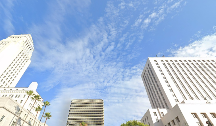
Downtown Los Angeles started Sunday, February 1, 2026, under clear skies and a crisp 55°F, with the sun expected to drive afternoon highs into the low 80s. The days ahead look drier and much warmer than normal, thanks to a strengthening ridge of high pressure and the potential for gusty offshore winds by midweek.
Afternoon Heat And Midweek Gusts
High temperatures are forecast to reach about 83°F today, ease back into the upper 70s Monday, then climb to the mid 80s Tuesday and peak near 90°F on Wednesday, February 4, 2026. Forecasters say a building high-pressure ridge combined with renewed offshore (Santa Ana) flow could bring gusts of 30–50 mph in wind-prone foothills and valleys, according to the National Weather Service Los Angeles/Oxnard.
How This Could Affect Your Plans
Sunny afternoons will favor outdoor plans and errands, but patches of dense morning fog along the coast could slow commutes and cut visibility. By midweek, the stronger gusts may make driving tricky for high-profile vehicles and could send unsecured patio furniture tumbling. Secure loose items, give larger vehicles extra room on the road, and consider shifting heat-sensitive tasks to the cooler morning or evening hours while temperatures spike midweek.
Fog, Surf And Small Craft Advisories
There remains a chance for locally dense fog overnight into Monday, and coastal spots will also contend with elevated surf and choppy seas. A High Surf Advisory is in effect through 9 a.m. Tuesday, and Small Craft Advisories are posted for parts of the outer and nearshore waters, so boaters and beachgoers should use extra caution. For the official list of current watches and advisories, see the National Weather Service Los Angeles/Oxnard.
Earlier Coverage
We previously reported on earlier wind advisories for the region; background on those strong winds hitting Los Angeles is available here. We will update this post if watches or warnings expand or if conditions change significantly.


