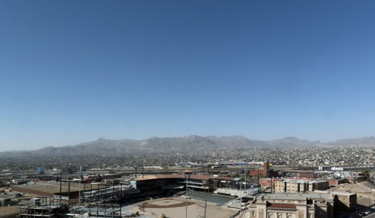
El Paso is starting Tuesday on the chilly side, with clear skies and temperatures near 40°F at dawn, but the warmup will be fast. Readings are expected to jump into the upper 70s this afternoon, then climb even higher midweek as many lowland neighborhoods head for the low to mid 80s. The pattern stays dry through the weekend, with gusty afternoon winds and low humidity likely to kick up pockets of blowing dust in exposed desert corridors.
Winds, Dust And Record Watch
West to northwest winds will pick up today and strengthen on Wednesday, with gusts commonly in the low to mid 20s and some localized higher gusts. Patchy blowing dust is most likely from late morning through mid-afternoon in the playa and lowland areas. Forecasters at the National Weather Service are calling for breezy to moderately windy afternoons, a few areas of blowing dust, and elevated fire weather concerns as afternoon humidity dips very low.
El Paso’s February record high stands at 86°F, and this weekend’s warm spell could nudge some inland spots near or even slightly above that mark. For the temperature history buffs, the NWS El Paso climate records lay out exactly how unusual this kind of late‑February heat can be.
What To Expect And How To Prepare
If you live in an exposed neighborhood, today is a good time to secure patio furniture and lightweight items and tie down anything that might decide to go flying. Drivers on desert highways should build in a little extra time and slow down if the air turns hazy. Anyone with asthma or other respiratory sensitivities should try to avoid strenuous outdoor activity during the gustiest mid‑day hours.
Looking Ahead
The warm, dry pattern is expected to hold through the weekend, with many lowland spots in the low to mid 80s and some inland pockets reaching the upper 80s. Forecast models hint at a subtle pattern change by the middle of next week that could bring cooler air and a chance for showers, so it is worth checking the latest local forecast before you lock in weekend or early‑week plans.


