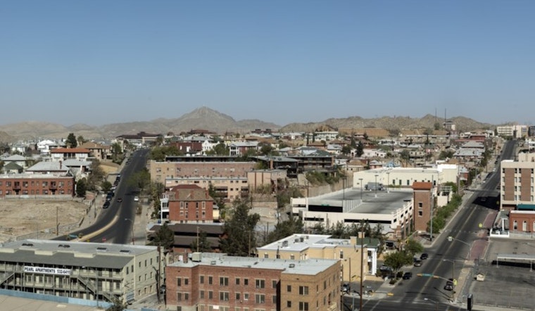
El Paso woke up to clear skies and mild morning temps in the mid-60s, and the sun is set to crank those numbers into the low to mid-80s by Thursday afternoon. Dry air and light northwest winds will keep things feeling more like early spring than late winter, and that warm, sunny pattern looks locked in through the weekend.
Weekend Records in Play
Temperatures will climb a little higher each day, with highs near 83°F on Thursday and rising to about 88°F on Saturday, February 28, and Sunday, March 1. Forecasters say those Saturday readings could challenge or even beat some long-standing February records, with highs running roughly 15 to 20 degrees above normal for late February. With virtually no chance of rain through early next week, mostly sunny skies are expected across the area, according to the National Weather Service.
Breezy Afternoons and Fire Weather
Afternoons will feature light to occasionally breezy northwest and west winds, with forecast details calling for west winds of 5 to 12 mph and gusts up to 18 mph on Sunday. The air will be very dry, with daily minimum relative humidity values dropping into the teens, and that combination of warmth, low humidity, and mixing will dry out fuels and raise fire danger. With no meaningful rain on the horizon over the next several days, outdoor burning should be treated as unsafe, and loose items should be secured before the gustier periods arrive.
How to Prepare
Tie down patio furniture, skip any outdoor burning plans, and give yourself extra time on desert highways where sudden dust during gusty periods can quickly cut visibility. If you have respiratory sensitivities, plan for indoor activities around midday and keep water and medications within easy reach. Parks, outdoor practices, and athletic events around the region should expect warm conditions to stick around through the weekend.


