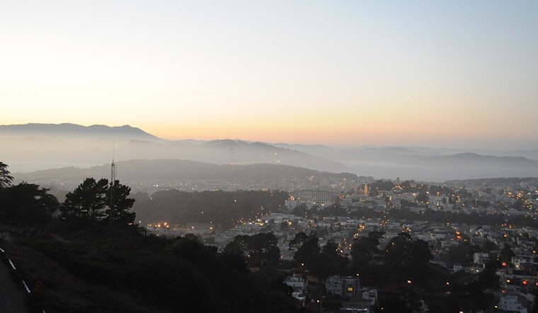
San Francisco woke up today to patchy fog, a chill in the air, and that classic winter mix of 48°F overnight lows and an afternoon high expected near 63°F. The fog should thin out by midmorning for most of the city, but the coastline will stay on edge thanks to a long-period swell teaming up with rising tides. Drivers near the waterfront should be ready for some minor ponding on low-lying roads during the late-morning high tide.
Coastal Hazards Through Monday
The National Weather Service has issued a Coastal Flood Advisory that is in effect until noon today, along with a Beach Hazards Statement that runs through 9 a.m. tomorrow. The alerts call out sneaker waves, strong rip currents, and breaking waves in the 14 to 19 foot range. According to NWS San Francisco, that punchy surf can spill over into parking lots, parks, and roadways, with isolated closures possible if the water gets too high.
Officials are urging everyone to give the shoreline some extra respect, stay off jetties, piers, and rocks, and to "NEVER turn your back on the ocean."
When To Watch The Tides
The San Francisco tidal gauge is expected to run about 1.2 feet above normal around 10:22 a.m. PST today, which bumps up the risk of minor inundation at bayshore spots. Before heading out to the water, check local tide predictions at NOAA Tides & Currents.
If you have to drive along the Embarcadero or other low-lying bayshore streets this morning, build in some extra time, keep an eye out for flooded stretches, and avoid driving through standing water.
Fog, Winds And The Commute
Patchy fog in the North and East Bay valleys should lift by late morning, setting the stage for a breezier afternoon. West-northwest winds are expected to increase to about 10 to 15 mph, with gusts near 18 mph tonight. Those gusts could make bridge crossings and exposed stretches of roadway a bit more challenging during the evening commute, especially for high-profile or smaller vehicles.
Temperatures will dip a few degrees near the water this evening, so bring layers if you are heading out, and give cyclists and smaller cars a wider berth when the wind ramps up.
Week Ahead
Starting tomorrow, a drier and warmer pattern settles in and builds through midweek, with daytime highs climbing into the mid-60s and mostly sunny skies expected through Wednesday. The surf hazard will still linger tomorrow morning, so coastal visitors should stay alert even as the skies brighten.
No significant rain is expected through the week at this time, but mariners and beachgoers should continue to monitor forecasts for any changes.


.jpg)