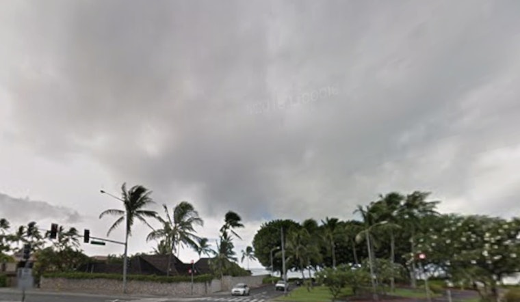
Today, Honolulu started the day mostly clear but getting rattled by strong trade winds, with a forecast high near 80°F and isolated morning showers possible before noon. East winds are expected to run in the 18–25 mph range, with gusts that could reach up to 39 mph this afternoon, keeping things blustery across neighborhoods and especially along exposed roadways.
Afternoon Winds Crank Up
A Wind Advisory is in effect through 6 p.m. HST Tuesday, for parts of Oahu and nearby islands, warning of sustained easterly winds and gusts strong enough to make steering larger vehicles difficult and to blow around unsecured outdoor items. According to the National Weather Service Honolulu, the strongest gusts this afternoon will tend to show up near mountain passes and in immediate lee areas.
Rough East Shores And Marine Alerts
East-facing beaches are under a High Surf Advisory through 6 a.m. HST Wednesday, February 18, 2026, and Small Craft Advisories plus a Gale Warning remain posted for windier channels and nearby offshore waters. Forecasters say these conditions can produce dangerous shorebreak and strong currents. Coverage from Hawaii News Now urges boaters and beachgoers to avoid exposed areas and to secure small vessels until conditions ease.
Weekend Rain Chances Rise
Looking ahead, forecasters say the trade wind pattern could turn wetter late in the week, with increasing chances for scattered to periods of showers Friday into the weekend and a modest risk of heavier bands capable of producing localized flooding in windward and mauka neighborhoods. The National Weather Service Honolulu recommends keeping an eye on updates and securing vulnerable outdoor items ahead of Friday's potential increase in shower activity.


