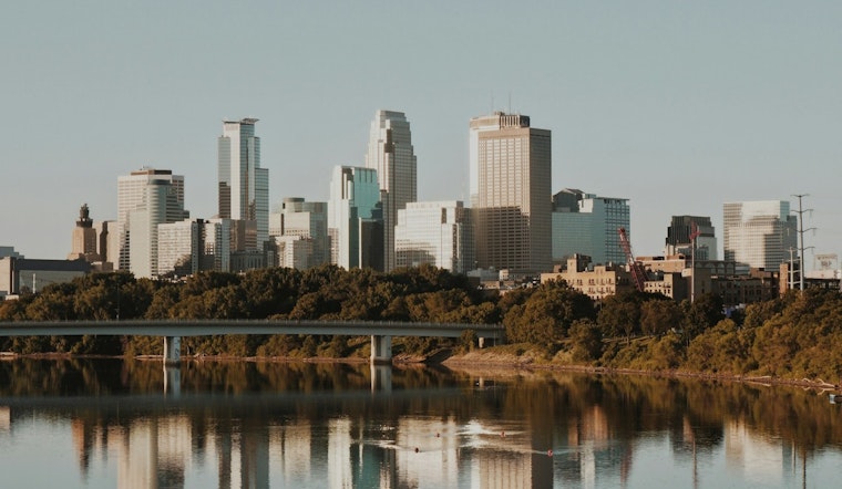
Minneapolis stepped out to blue skies and temperatures in the 30s on Sunday morning, with the mercury set to jump into the low 50s this afternoon. Highs are expected to top out near 51°F, paired with a light west-southwest breeze around 5 mph. Skies should stay mostly sunny through the afternoon, making this a notably mild mid-February day compared with the typical mid-20s. Clouds build back in tonight, with lows near 36°F.
Afternoon Thaw And Local Impacts
The rapid warmup will speed up snowmelt, which means all the usual suspects start showing up: potholes, soft shoulders, and slushy sidewalks. Watch your step and ease up on the gas around bicyclists and pedestrians. Wet pavement and lingering ice in shaded spots could still cause slick patches this evening, so give yourself a little extra time for errands or any outdoor plans.
Rain And Gusty Winds Arrive Tuesday Night
A larger system takes over starting Tuesday, bringing gusty east-southeast winds and rising rain chances Tuesday afternoon, with the heaviest rainfall expected Tuesday night. New rainfall amounts of around a quarter to a half inch are possible, and winds could gust up to 30 mph. According to the National Weather Service Twin Cities, the strongest precipitation is likely Tuesday night into Wednesday, and areas north of the Twin Cities could see a band of heavier, wet snow depending on the exact storm track.
Timing And Travel Tips
Rain chances should ramp up after midday on Tuesday, February 17, 2026, with light rain lingering into Wednesday before colder air moves in Wednesday night and some locations see a transition from rain to snow. By Thursday into Friday, temperatures slide back into the 20s, and a slight chance of light snow Thursday night could bring generally under an inch of accumulation across the metro.
Outlook And Where To Watch
There are no watches or warnings currently in effect for the Twin Cities, but that could change as the midweek system sharpens. Check the National Weather Service Twin Cities for updates and any new advisories. Early-morning fog is possible in low-lying areas on Monday, so plan a bit of extra time for the commute while visibility improves after sunrise.


