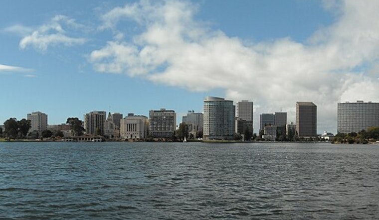
Oakland started today under cool, crisp skies, but the chill will not last long. Sunshine takes over quickly, with the afternoon topping out near 71°F and a dry offshore breeze holding firm through Thursday. Any morning fog should stay mainly tucked into a few East Bay valleys.
Afternoon Sunshine
Across the Bay, most neighborhoods are headed for the upper 60s to low 70s, with inland areas hanging onto the warmth into the weekend while coastal spots run a couple of degrees cooler. Temperatures ease a bit tomorrow as the ridge shifts east, yet they remain several degrees above normal, and a few locations may come close to record territory. The National Weather Service is calling for highs near 71°F in the East Bay today.
Beaches and Rough Seas
A Beach Hazards Statement is in effect from 12 AM. Thursday, Feb. 5, through 9 PM. Saturday, Feb. 7, for Pacific Coast beaches. Long-period westerly swell is expected to kick up breaking waves around 14 to 19 feet, along with a heightened risk of sneaker waves. That means stronger rip currents and a particular danger on jetties and piers, while mariners should be ready for increasing northwest winds and building seas from Thursday night into the weekend. Recent coverage of similar conditions and warnings can be found in sneaker-waves risk.
Looking Ahead
The pattern flips late this weekend as a trough approaches the West Coast, ushering in a cooler, wetter setup. Rain chances tick up Sunday into early next week, starting around 10 to 30 percent on Sunday, then climbing Monday and Tuesday along with a better shot of showers and a notable cooldown. Any Sunday rain should stay light, but both the odds of precipitation and breezy northwest winds increase early next week, so outdoor plans may need a backup option. These upcoming trends are highlighted by the National Weather Service.
What To Do
Inland, it is prime-time weather for getting outside while the sun holds, but the shoreline tells a different story. If you head for the coast, stay off rocks and piers, keep your distance from the waterline, and keep a close watch on the surf. For early commuters in fog-prone valleys, plan a little extra drive time and make sure headlights are on if visibility drops.


