Oklahoma City woke up to clear skies and a mild 54°F early Saturday, February 28, 2026, but it will not stay mellow for long. South winds are set to push temperatures into the 70s by midmorning and toward a high near 80°F this afternoon.
Afternoon Heat And Spotty Storms
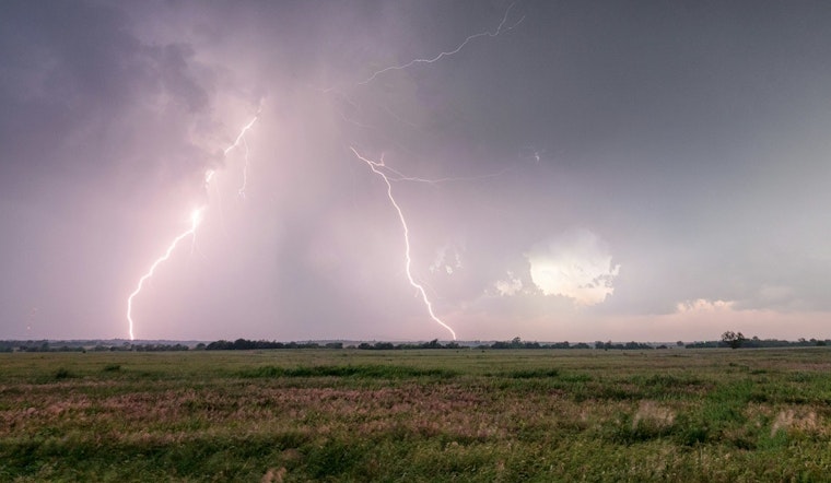
The National Weather Service in Norman is calling for a high near 80°F with a slight chance of showers and thunderstorms mainly between about 9 a.m. and 3 p.m. Southerly winds of 8 to 16 mph, with gusts up to 24 mph, will add a bit of a kick to the warmup. Most of the metro should stay dry, although any isolated storm that does pop up could bring brief heavy rain, gusty winds or small hail, according to forecasters.
What This Means For Your Plans
The warm afternoon is fair game for errands, yard work or a quick trip to the park, but it is smart to keep a plan B in your back pocket for evening events. A lightweight jacket will come in handy for early morning starts, and an umbrella is a good idea if you are out late, as shower chances tick up after dark. Cyclists and anyone setting up light outdoor gear may notice the gusts, so secure loose items if you are prepping for a backyard get-together.
Weekend Front And Week Ahead
Rain and storm chances ramp up late Saturday night into Sunday as a cold front slides through, with more widespread showers and thunderstorms expected Sunday and Sunday night and lows dropping into the mid-40s by Monday morning, according to the National Weather Service in Norman. Forecasters add that the pattern turns active through early March, with additional rounds of showers and a heightened chance for strong to potentially severe storms later in the week, particularly Tuesday into Wednesday, so it is worth checking for updates if you have outdoor plans lined up.


