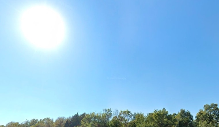
Oklahoma City woke up to cloudy skies and temperatures around 50°F on Sunday, but the gray start will not last. Sunshine is expected to break through and warm things up into the mid 60s this afternoon, while early north winds gusting near 23 mph gradually ease by evening. A sharp warmup arrives early next week, bringing much warmer, drier air and elevated fire concerns for parts of western Oklahoma.
Today and Tonight
Skies turn mostly sunny this afternoon with a high near 50°F and west winds around 5 mph. By Sunday night, skies clear and temperatures drop to around 33°F, with lighter south winds taking over, according to the National Weather Service Norman.
Early-Week Warmup and Fire Risk
Southerly winds move in on Monday, with highs climbing into the low 70s. The real jump comes Tuesday, when a stronger surge of warm air could push highs into the upper 70s. A Fire Weather Watch is in effect for parts of western and northwestern Oklahoma on Tuesday, when gusty winds and low humidity could make any fires spread quickly, according to the National Weather Service Norman. State forestry officials are urging caution and advising against open burning while fuels remain dry, as per Oklahoma Forestry Services.
Plan Ahead
Today is still a good bet for outdoor plans, but if you have controlled burns on the to do list or yard debris to torch, officials want you to hit pause until the warm, gusty stretch backs off. Secure loose outdoor items before the stronger winds arrive, keep an eye on updated forecasts and any local burn ban notices, and if a fire does start, call 911 and follow local emergency guidance.


