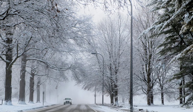
Residents in the Philadelphia area should bundle up tight this morning, as a cold weather advisory remains firmly in place until 10 AM EST. According to the National Weather Service in Mount Holly, NJ, wind chills reaching as low as 9 below zero are expected to persist across parts of New Jersey and southeast Pennsylvania.
The advisory warns of very cold wind chills, which could lead to hypothermia if proper precautions are not taken. These conditions are anticipated to affect a wide region, including cities like Philadelphia, Cherry Hill, Glassboro, and Trenton, among others. Officials advise wearing appropriate clothing, including a hat and gloves, and to exercise caution while traveling outside.
Looking ahead, the National Weather Service forecast indicates increasing clouds today with a high near 28 degrees, though wind chill values might feel as low as zero due to northwest winds around 5 mph. This cold spell is expected to extend into the night, with lows around 16 degrees and clouds persisting.
As the week progresses, temperatures will see a gradual climb, with highs nearing 38 degrees on Tuesday and Wednesday. However, the evenings will retain their briskness, as lows are projected to stay around the mid-20s to low 30s. A slight chance of rain before Wednesday could lead to a bit more unpredictability, with the chance of precipitation pegged at 20 percent. "A chance of rain and snow. Mostly cloudy, with a high near 38. Chance of precipitation is 40%," the NWS forecast indicates for the upcoming Sunday.


