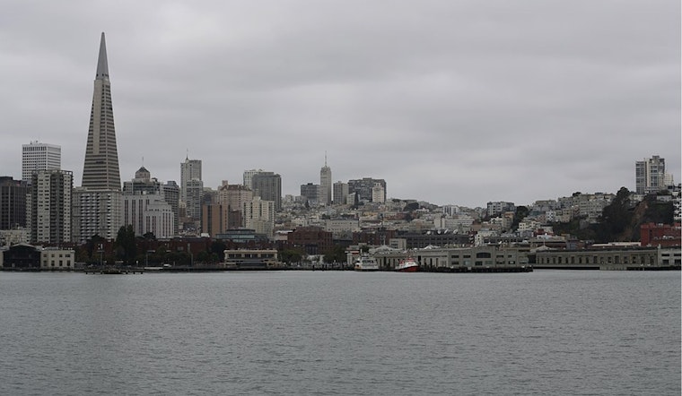
San Francisco woke up to a soggy shock today, with steady rain, gusty winds, and temperatures stuck in the mid-40s as heavier showers rolled through the early commute. The cold front that moved through overnight opened a brief window for thunderstorms, and forecasters say lightning, short but intense downpours, and even small hail are possible in some neighborhoods. Coastal beaches are especially risky today, with a High Surf Advisory in effect through 9 AM tomorrow, so this is not the day to wander out on jetties or right up to the waterline.
Morning Thunder, Gusty Commute
Showers are most likely before 1 PM, with the strongest band of rain and any thunderstorms tracking through during the early morning commute. Drivers can expect sudden bursts of heavy rain that cut visibility and create quick ponding on streets. Winds will stay on the feisty side, with gusts around 25 to 35 mph across the city and stronger blasts on exposed shorelines and in the hills. The National Weather Service notes that gusts up to 50 mph are possible in coastal areas and higher terrain. According to NWS San Francisco, overnight rainfall totals could reach about one-half to three-quarters of an inch in some neighborhoods, with lighter daytime amounts elsewhere.
Beach and Bay Hazards
The High Surf Advisory for Pacific Coast beaches runs through 9 AM tomorrow, with large breaking waves expected in the 18 to 22 foot range and an elevated risk of sneaker waves and strong rip currents. That combination makes piers, jetties, and coastal rocks particularly dangerous, since large sets can sweep people into the surf with little warning, and some localized beach erosion is likely. Out on the water, ferry riders and small boat operators should brace for very choppy conditions during the advisory period.
Tonight and This Weekend
Once the front moves through, skies are expected to clear this afternoon into the evening, but temperatures will drop quickly. Overnight lows will fall into the low 40s, with some inland pockets turning even colder, putting unprotected plants, pets, and anyone sleeping outdoors at risk of the chill. Rain chances creep back in on Saturday and continue into next week as another system approaches, with Monday and Tuesday lining up to be wet again. Anyone planning outdoor events this weekend should keep an eye on updated forecasts.
What To Do Now
On the streets, slow down, give yourself extra time for the commute, and keep your headlights on in heavy rain. Avoid driving through standing water and leave more space for cyclists and pedestrians who are dodging puddles. If you or someone you know needs shelter or assistance during the cold night ahead, call 311 or 2-1-1 to connect with local resources.


.jpg)