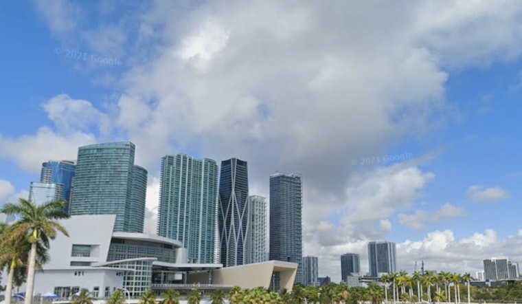
Miami is waking up on the chilly side on Tuesday, February 24, 2026, with bright sunshine, brisk northerly winds and a very un-Miami high near 65°F. Gusts are pushing up to about 20 mph, offshore surf is rough, and the National Weather Service is warning that rip currents will keep many Atlantic beaches hazardous into the evening. On top of that, smoke from an active wildfire in Big Cypress National Preserve has drifted south and may slow some morning commutes with pockets of reduced visibility.
Big Cypress Fire and Smoke
According to the National Park Service, two fires were discovered inside Big Cypress National Preserve on February 22. Crews are working the blazes and park managers have ordered an area closure while they do it. The shutdown covers sections of the preserve south of I-75 and east of State Road 29, and residents in the affected zone are being asked to stay in a “Ready” status. Park and weather officials say smoke has been drifting south and could bring reduced visibility through Tuesday morning.
Rip Currents and Marine Advisories
The National Weather Service Miami has issued a Rip Current Statement for coastal Miami-Dade and Broward counties through Tuesday evening, around 7:00 p.m. EST. Small Craft Advisories are also in effect on Gulf waters until 9:00 a.m. EST and on Atlantic waters until 1:00 p.m. EST. Forecasts show Atlantic seas dropping from roughly 8 to 10 feet at daybreak to about 5 to 6 feet by this evening, which still means choppy, steep waves and strong alongshore currents. Beachgoers are urged to swim only at lifeguarded beaches, and boaters are advised to keep small, open vessels off the water until the advisories expire.
Temperatures and the Week Ahead
Temperatures will run a bit below normal today, with a high near 65°F and a cool overnight low around 46°F. Readings bump back into the low 70s on Wednesday, then climb into the upper 70s to near 80°F by Thursday and Friday. Forecasters expect deeper moisture to return later in the week, bringing a chance of showers and isolated thunderstorms Friday into the weekend. With vegetation extremely dry across parts of South Florida, officials caution that enhanced fire behavior is possible this afternoon where relative humidity dips into the 20 to 30 percent range.
Legal Implications
Big Cypress National Preserve has issued an official area closure for portions of the park south of I-75. Entering any closed area is prohibited, and park managers are asking the public to respect the restrictions for safety. Residents near the preserve should follow local instructions and keep an eye on park and weather updates before traveling into or through the closure zone.
Bottom line: check conditions before heading to the beach or hitting the road, steer clear of unguarded surf, secure small boats until marine advisories are lifted, and allow extra travel time if smoke reduces visibility south of Big Cypress. For the latest information, monitor park alerts and the NWS Miami forecast before locking in your plans.


