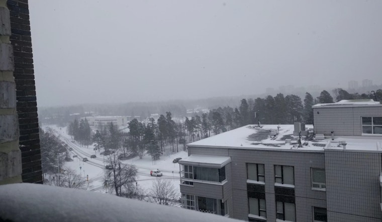
Philadelphia woke up Sunday to plain old chilly rain and temps in the upper 30s — about 37°F at Philadelphia International Airport — but the quiet start is not sticking around. A major coastal storm is barreling in, with rain expected to flip to heavy, wet snow later today and through the night, accompanied by strong winds that could whip up near-whiteout conditions. The next 24 to 36 hours are expected to be the roughest, so officials are urging people to avoid nonessential travel and plan for service disruptions.
Blizzard Warning And Expected Totals
The National Weather Service office in Mount Holly has upgraded Philadelphia and surrounding counties to a Blizzard Warning from 10 a.m. Sunday through 6 p.m. Monday, citing the risk of very heavy snowfall and true blizzard conditions. According to NWS Mount Holly, intense snow bands could drop an inch or more per hour, with many locations likely landing in the 12 to 20 inch range and some spots near the Jersey Shore possibly seeing even higher totals. The alert also flags the potential for damaging wind gusts and warns that travel could be "very difficult to impossible."
Timing And What To Expect
Through midday Sunday, look for a rain and snow mix with temperatures hovering near 38°F, then a changeover to all snow later this afternoon and evening as colder air pushes in. The real trouble arrives Sunday night into Monday morning, when the heaviest snow is expected and travel impacts could spike, with visibility dropping to near zero in blowing snow and snowfall rates in the strongest bands climbing above 2 inches per hour. Winds will strengthen tonight, with north-northwest gusts around 45 to 50 mph inland and even stronger gusts along the coast, raising the risk of drifting on roofs and downed tree branches. For more context and prep tips, see Snow Slam: Philly On Edge.
City Orders And Closures
Mayor Cherelle Parker has declared a citywide snow emergency starting at 4 p.m. Sunday. That means vehicles must be moved off designated snow-emergency routes or risk ticketing and towing, and city offices and courts will be closed Monday. The School District of Philadelphia will switch to virtual learning for Monday, while city crews have already staged melters, plows and about 1,000 workers to keep primary roads clear. Trash collection will run two days behind schedule. Those local decisions and operational details were reported by 6ABC.
What You Should Do
If possible, stay off the roads from Sunday evening through Monday. Make sure phones are charged, prescriptions are refilled, and you have a few days of food and water on hand, and move cars off snow-emergency routes before the 4 p.m. deadline. If you have to drive and end up stranded, stay with your vehicle and call for help only in life-threatening situations. Keep an eye on ReadyPhiladelphia alerts and local transit channels for notice of service changes.
Short-Term Outlook
High pressure is forecast to slide in on Tuesday, bringing a colder but drier day with highs in the low 30s. After that brief break, the pattern turns unsettled again by midweek, with a chance of light snow or a wintry mix on Wednesday. Keep monitoring the National Weather Service and city officials for updates on road reopenings and restoration work as crews deal with drifting snow and any storm damage.


