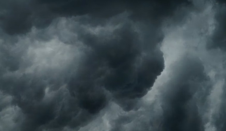
San Jose started today on a cool, crisp note, with Mineta San José International reporting around 45°F under clear skies. The calm stretch will be short-lived, though, as pockets of morning fog give way to a parade of Pacific storms set to roll in later tonight, bringing steady rain and gusty southerly winds through much of next week.
Morning Fog Could Snag The Commute
Light valley fog is expected to hang around before 10 a.m. today, trimming visibility on side streets and some freeway ramps. Drivers should budget a little extra time for the early run and stick with low beams where the gray thickens. High clouds are expected to move in by late morning, which should help scatter the worst of the fog.
Saturday Afternoon Into Night
Skies turn mostly cloudy Saturday with a daytime high near 62°F, then temperatures gradually slip into the upper 50s by late afternoon. Winds stay on the lighter side during the day, but they pick up overnight, with south-southeast gusts near 20 to 30 mph and stronger bursts possible over exposed hills and ridgelines.
Sunday Through Midweek: Rain Moves In, Wind Cranks Up
Rain chances climb tomorrow afternoon, with the better odds after 1 p.m. Steadier, at times heavier, rain spreads tomorrow night into Monday and then hangs around through much of next week. The National Weather Service is calling for a few tenths of an inch of rain in the valleys tomorrow, with another several tenths to around an inch possible tomorrow night into Monday, and gusty southeast winds of 30 to 40 mph at times.
Heads Up For Boaters And Beachgoers
Coastal waters are in for a rough stretch, with Small Craft Advisories and a Gale Warning posted for parts of Monterey Bay and nearby waters. Boaters should skip exposed runs this weekend and secure loose gear. Strong southerly winds paired with a building swell will also raise the risk of dangerous rip currents along the Central Coast.
Mountain Snow And Minor Flood Concerns
Colder air early next week is expected to drop snow levels to roughly 2,000 to 3,000 feet, enough for light accumulations on the highest peaks and some spots in the Santa Cruz Mountains and Gabilan Range. Forecasters say mainstem rivers currently show a low, under 10 percent, chance of minor flooding at a few locations, so residents should keep an eye on local streams if heavier rain bands linger.
How To Get Ready
Plan for extra travel time tomorrow and Monday, ease off the gas on wet roads, and secure or move loose outdoor items before the strongest winds arrive. This story updates our earlier coverage, and you can check our earlier deep dive on the storm setup for more on the pattern and fog expectations.


