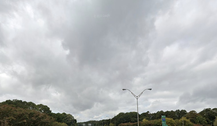
Clouds, humidity, and a sticky southwest breeze are setting the stage for a soggy Thursday across the Atlanta metro, with showers already sliding in this morning. Rain will become widespread today, and showers with scattered thunderstorms are expected through the evening and into the overnight hours.
Afternoon Storms and Gusts
According to the National Weather Service in Peachtree City, showers will ramp up by late morning, with the best shot at thunderstorms between 11 a.m. and 4 p.m. Any stronger storm could kick up wind gusts of 30 to 45 mph and bring brief but intense downpours. Many spots can pick up a quarter to three-quarters of an inch of rain, with some neighborhoods seeing locally higher totals where heavier cells linger.
What It Means for Your Drive
Expect slower trips this afternoon and evening, with standing water and reduced visibility during heavier bursts of rain acting as the main travel headaches. Gusty winds may shuffle around unsecured outdoor items and make highway driving a bit choppy on exposed stretches. Flyers heading through Hartsfield‑Jackson should budget extra time as ceilings lower and storms move through, and local bus and bike commutes could also run slower in the wet and windy conditions. For background on this week’s wind trend, see this week’s blustery wind setup.
Weekend Outlook
A drier, milder stretch builds in for the weekend, with highs climbing into the upper 60s to mid 70s by Sunday and lows near the upper 40s. Rain chances drop off sharply Saturday and Sunday as higher pressure returns, offering a much better window for outdoor plans late in the week.


