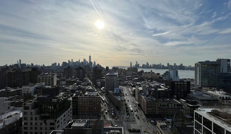
New Yorkers are waking up to crisp, clear skies and near-freezing air Friday, with temperatures hovering around 30°F and light northerly winds. Sunshine should take the lead for most of the day, with a high near 45°F this afternoon and coastal neighborhoods running a few degrees warmer. It is a classic winter fake-out: a pleasant stretch today and a mild Saturday, followed by a quick hit of colder air and scattered snow showers Sunday into Monday.
Afternoon Sunshine, Easy Start to the Weekend
Expect sunny skies through the afternoon with a light southeast breeze around 2 to 6 mph, which will help push highs into the low to mid 40s. Saturday looks even milder and mostly sunny, with a high near 50°F, making it the better day for outdoor plans. Winds stay light, so anything from a park stroll to a neighborhood errand run should feel pretty comfortable for late February.
Scattered Snow Showers Sunday, Light Coating at Most
Clouds and a bit of moisture move in on Sunday, bringing scattered snow showers during the morning and a high around 39°F. The chance of measurable snow is modest at roughly 40 percent, and any accumulation inside the five boroughs is likely under an inch, with higher totals more likely farther inland. Colder air settles in Sunday night into Monday, with lows near 21°F and wind chills dipping into the single digits, so any lingering wet spots on streets and sidewalks could refreeze after dark.
Commute and Travel Outlook
No advisories are expected in the coming days, according to the National Weather Service, so major travel disruptions are unlikely. That said, our coverage from Thursday showed how leftover melt can turn into black ice on shaded streets. See black ice trouble spots for where commuters ran into issues. If you are heading out Sunday morning, give yourself some extra time and check transit updates before you leave, just in case those slick patches make a comeback.
Looking Ahead
Another system late next week could bring a round of rain or a rain and snow mix, with temperatures rebounding into the mid 40s by midweek. Stay tuned to forecast updates, since any shift in timing could change which parts of the region see more in the way of snow versus rain.


