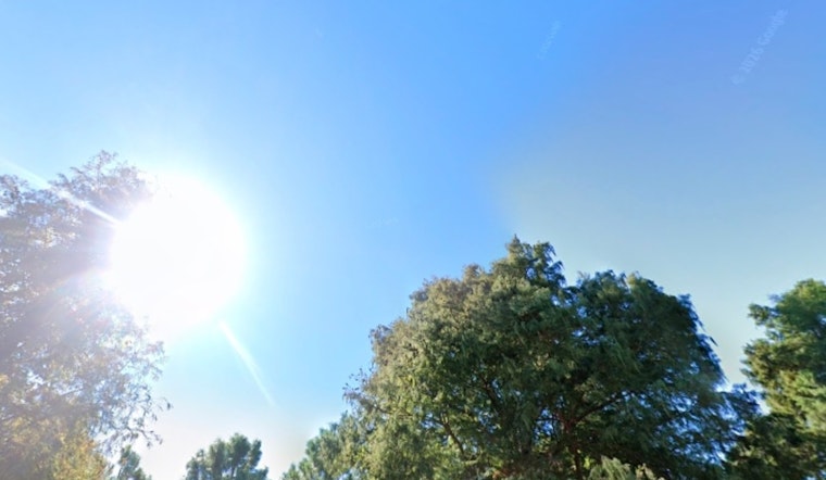
Thursday is giving New Orleans a crisp wake-up call with clear blue skies, a brisk northwest breeze and morning readings in the upper 30s, headed for a high near 52°F this afternoon. It will stay sunny but gusty through the day, so expect a bit of a shove from the wind on exposed streets and bridges during the commute.
Advisories And The Forecast
A Small Craft Advisory is in place for all open waters and sounds through Thursday afternoon, and a Cold Weather Advisory runs until 8 a.m. CST for parts of southeast Louisiana and coastal Mississippi. Wind chills could dip into the lower 20s in some areas, with a few hours of sub-freezing temperatures possible along and north of the I-10/12 corridor. After today’s cool sunshine and a high near 52°F, a rapid warm-up is on tap Friday into the weekend, with highs climbing into the upper 60s and then into the low to mid 70s by early next week, according to the National Weather Service.
Marine, Commute And Shelter Notes
Boaters and anyone heading out on Lake Pontchartrain or the coastal sounds should hold off on small craft travel until conditions ease this evening, since choppy seas and gusty winds will be the main hazards. High-profile vehicles can also expect a push from the wind during the afternoon commute, so slow down, give extra room and take it easy on bridges.
The City of New Orleans has a freeze plan in place and lists warming centers and shelter resources; call 3-1-1 if you or someone you know needs help staying warm. For a look at how we got here, check out our coverage of the severe cold snap earlier this week.
Quick Safety Tips
If you will be outside this afternoon, grab a windproof layer, protect exposed pipes and bring pets indoors. A quick check-in on neighbors, especially older residents, can go a long way on a morning like this. If you are planning to head out on the water, double-check life jackets, gear and forecasts, and postpone any nonessential trips until the breeze backs off and conditions improve.


