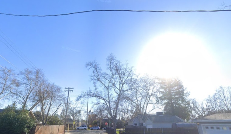
New Orleans woke up socked in by thick, low-lying fog on Tuesday, February 10, with visibility sliced down to about a quarter-mile in spots during the early commute. Temperatures are starting out in the low 50s and are expected to climb into the low to mid 70s by afternoon, setting up a partly sunny, unseasonably warm day once the soup burns off. A Dense Fog Advisory is in effect through mid-morning, so anyone hitting the road should plan extra time until conditions improve, according to the National Weather Service.
Fog And The Morning Commute
Visibility is frequently under a quarter-mile this morning, which makes highway and bridge approaches especially tricky. The National Weather Service in New Orleans has a Dense Fog Advisory posted until 9 a.m. CST Tuesday, February 10, 2026, National Weather Service New Orleans reports. Drivers who have to be out are urged to slow to conditions, use low-beam headlights, and leave plenty of distance between vehicles; anyone with flexible plans might want to delay nonessential trips until after the advisory expires. Transit riders should be ready for slower traffic and occasional delays on the main routes during the early commute.
Afternoon And Week Ahead
Once the fog thins, skies should turn partly sunny with a high near 74°F and light south winds, with afternoon readings likely easing into the low 70s. A slight chance of spotty showers arrives Wednesday, about a 20% chance, with rainfall totals generally expected to stay under a tenth of an inch. For a deeper dive into the warm, fog-prone setup shaping the next several days, see this steamy, foggy week outlook, according to the National Weather Service.
Weekend Watch
Forecasters are also keeping an eye on a stronger system that could move in Saturday night into Sunday morning, bringing a higher risk of showers and possibly strong to severe thunderstorms. The exact timing is still uncertain five days out, so details could shift as the weekend gets closer. Organizers of outdoor evening events on Saturday should have backup plans in place and monitor updated forecasts later in the week. Conditions are expected to turn breezier ahead of the front, especially closer to the coast.
How To Stay Safe
Anyone who has to travel this morning should slow down, stick with low-beam headlights, and increase following distance; holding off on nonessential driving until after 9 a.m. is the safer bet when visibility is low. Boaters and small-craft operators should be extra cautious, since fog along the coast may linger into the early afternoon, and everyone should check the latest updates from the National Weather Service and local traffic reports before heading out. We will post updates if advisories change or if the forecast for the weekend firms up.


