Atlanta rolled out of bed under a blanket of low clouds and patchy fog on Wednesday, March 4, 2026, with temperatures mostly in the low 50s across the metro. Visibility is trimmed in low-lying neighborhoods and near the airport, so early commuters should plan on a slower drive. The fog is expected to lift by midday, letting in some partial sun and pushing afternoon highs into the mid 70s.
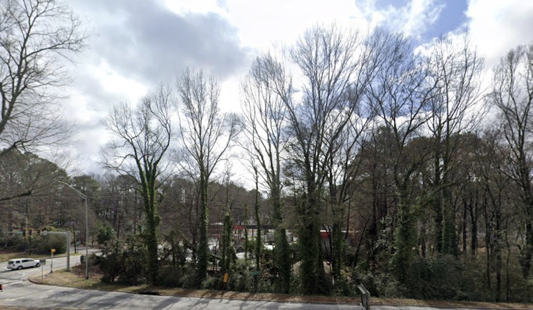
Foggy Morning Commute
Areas of fog are likely to hang around through the late morning, especially before 11 a.m., when surface moisture should finally start to thin out. Recent readings at the airport show mist and reduced visibility this morning, according to NCEP, so give yourself extra space on ramps and bridges and keep the low beams on.
Warm, Springlike Stretch
After today’s mid 70s, temperatures are forecast to climb into the upper 70s and low 80s on Thursday and Friday, roughly 10 to 20 degrees above what is typical for early March. The National Weather Service Peachtree City forecast discussion notes that daily record highs could be tied or broken later this week, especially Friday and Saturday, and gusts up to about 20 mph are possible Thursday afternoon. Read the full discussion from NWS Peachtree City.
Showers And Thunderstorms Return
Rain chances start to creep back in on Friday, with showers and isolated thunderstorms possible and afternoon rain probabilities around 30%. Those chances jump into the 40 to 60% range Saturday into Sunday night. A few strong storms cannot be ruled out, although widespread severe weather is not expected at this time. If you have outdoor plans from Friday afternoon through the weekend, it is worth having a backup option and checking the forecast before you head out.
What To Watch
There are no active watches or warnings in place for the metro right now, but the combo of this morning’s low visibility and the upcoming warm, muggy pattern means conditions could change in a hurry. For more context on the warm-up and earlier fog, see our earlier gray-skies setup.


