Baltimore rolled into Sunday morning wrapped in fog and surprisingly mild air. Temperatures are stuck in the upper 40s and pockets of dense fog are clinging to low-lying neighborhoods, slowing visibility along bridges and around the Inner Harbor. Skies are expected to lift later and most of the day should feel noticeably warmer, with a high near 72°F on tap and a chance of light showers from late morning into the early afternoon commute.
Fog And The Morning Commute
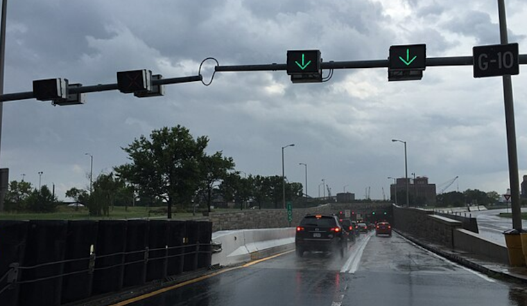
A Dense Fog Advisory is in effect until 8 a.m., with visibility dropping to a quarter mile or less in some spots, conditions that can make ramps and overpasses especially treacherous. If you have to drive, slow down, stick with low beams, and leave extra following distance. Boat operators on the northern Chesapeake should think twice about any nonessential trips, according to the National Weather Service.
Afternoon Warmth, Spotty Showers
By midday, most neighborhoods are expected to climb into the upper 60s to low 70s with west winds of 3 to 9 mph. A brief round of light showers is possible between about 8 a.m. and 3 p.m., but rainfall totals should stay under a tenth of an inch where showers do develop. Late afternoon should bring at least some sun and a milder ride home. For more on the foggy setup and the weekend pattern behind it, check out our stormy weekend sneak-peek.
Midweek Turn: A Strong Cold Front
Forecasters are also tracking a strong cold front that is expected to move through late Wednesday into Thursday, bringing the potential for heavier rain, a few thunderstorms, and a sharp temperature drop by Thursday evening. Wind gusts may reach 20 to 30 mph, and higher terrain could briefly see a rain and snow mix as colder air filters in, so outdoor plans later in the week may need to stay flexible, according to the National Weather Service.
Plan Ahead
Give yourself extra time on the Sunday commute and keep an eye on local transit alerts if you are riding the bus or light rail. Before heading to any late-week outdoor events, take another look at the forecast, with steep temperature swings possible, layers and a backup plan are the safest bet.


_approaching_the_north_entrance_to_the_Baltimore_Harbor_Tunnel_in_Baltimore_City,_Maryland.jpg)