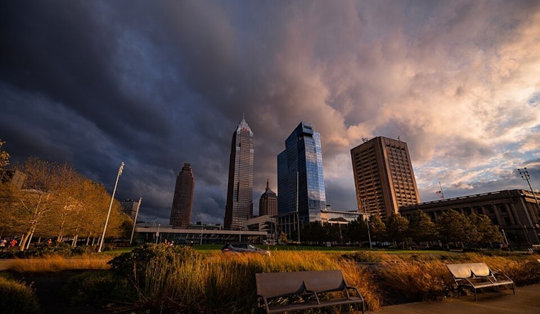
As of 5:40 a.m. EDT Monday, March 30, Cleveland is waking up under cloudy skies with temperatures around 61°F and a breezy southwest wind near 12 mph. Expect the clouds to hang around through the morning, with the afternoon high topping out near 66°F. Southwest winds will stay gusty, and there is a chance of showers late this afternoon into the evening.
Afternoon Winds Pick Up
Through the afternoon, look for mostly cloudy conditions with highs near 66°F and southwest winds of about 12 to 15 mph, with gusts in some neighborhoods reaching into the mid 20s, around 26 mph. There is only a slight chance of rain before early evening. After about 7 p.m., the chance for showers and a few isolated thunderstorms ramps up, which could slow down the evening commute. Most spots are expected to pick up only light rain, generally under a tenth of an inch, so widespread flooding is not on the table today.
Tuesday Night Into Wednesday
Showers and thunderstorms become more likely late Tuesday night into Wednesday, March 31 to April 1. The northern half of Northeast Ohio faces the highest rain totals, with an area average of roughly 0.6 to 1.2 inches and locally higher amounts where storms organize. Some storms late Tuesday into Tuesday night could turn strong to severe, with damaging wind the main concern and hail or an isolated tornado possible in a few cells. Forecasters advise keeping an eye on updates Tuesday afternoon and evening for potential watches or warnings. The timing and threat details are outlined by the National Weather Service Cleveland.
What This Means For You
Plan on extra travel time Tuesday night into Wednesday, especially if storms flare during your drive. Secure loose outdoor furniture before the stronger winds arrive, and hold off on boating on Lake Erie while conditions get choppy. If you come across standing water on the road, turn around and find another way through, and keep your phones charged so you can receive urgent weather alerts. Anyone traveling late Tuesday night into Wednesday should also check in with local transit agencies or other operators for possible delays.
Looking Ahead
Thursday may briefly feel more like spring, with highs possibly reaching into the 70s, before another front moves in with showers and storms late Thursday into Friday. The unsettled pattern looks likely to linger into the weekend. Repeated rounds of rain could keep creeks and smaller streams running higher than usual, so watch for advisories if your regular route crosses low-lying waterways. Forecast updates and a more detailed discussion are available from the National Weather Service Cleveland.


.jpg)