Cleveland is waking up to a mostly cloudy, windy and cold start, with temperatures near 24°F and pockets of light snow still hanging on east of I-77. Skies should turn brighter into the afternoon, with highs near 30°F and north winds around 7-12 mph. Any light dusting on lawns or side streets should melt as surfaces warm, but bridges and shaded stretches still deserve a little extra respect on the morning drive.
Quick Snow, Minimal Impact
A fast-moving clipper slid through before dawn, dropping light snow mainly across Lake and Ashtabula counties and into northwest Pennsylvania. Totals are generally under a half-inch, and road impacts are expected to stay limited. Where pavement temperatures are still below freezing, especially on bridges and overpasses, a few slick spots are possible for the morning commute.
The National Weather Service in Cleveland notes that most of this light snow will melt under the midday sun and that most roads should be in good shape later today.
Warmup And Rainy Pattern Starts Tuesday
A warm front lifts north late Monday night and flips the switch from flakes to raindrops. Steady rain is expected to move in Tuesday, with daytime highs jumping into the mid-to-upper 40s and a generally wetter pattern setting up for the rest of the week.
Forecasters flag a low-confidence chance for a brief period of freezing rain Tuesday morning where surface temperatures hang just below freezing, especially into northwest Pennsylvania. Tuesday and Tuesday night look to bring the bulk of the early-week rainfall, with locally a half-inch or more possible, and additional rounds of rain later in the week could lead to ponding and higher creek levels, according to Cleveland 19.
Thunderstorm Threats And Lake Impacts
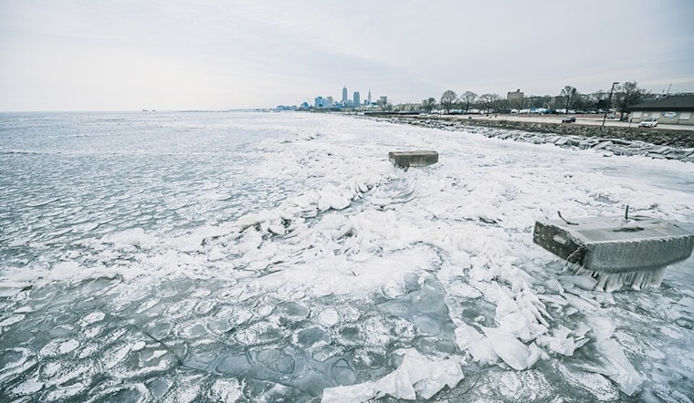
There is a chance of thunderstorms Wednesday night and again Friday, with Friday offering the best overlap of instability and wind shear and a low risk of any storms turning severe. The warmer air working in will also continue to weaken what is left of the Lake Erie ice, so boaters and anyone spending time near the shoreline should be cautious as the ice shifts and breaks up.
Marine interests should keep an eye on winds and lake conditions as the week goes on, since changing offshore flow will continue to shuffle boating conditions.
How To Prepare
For Tuesday, grab an umbrella for the commute and plan on a slower trip if you travel through low-lying spots that tend to collect water. If you live near creeks, keep tabs on forecasts and river levels, and check in with RTA or ODOT for any weather-related transit or road advisories before you head out.
If you are planning time on or near Lake Erie, stay off decaying shoreline ice and use local marine forecasts to guide your plans.


.jpg)