Dallas woke up to clear, muggy skies today, with temperatures sitting in the mid-60s and southerly winds already starting to flex. Expect a warm, breezy afternoon with a high near 87°F and gusts up to 30 mph, followed by a noticeable pattern shift later in the week. Showers and thunderstorms are likely by tomorrow, with another, potentially heavier round late Friday into Saturday.
Afternoon Gusts and Heat
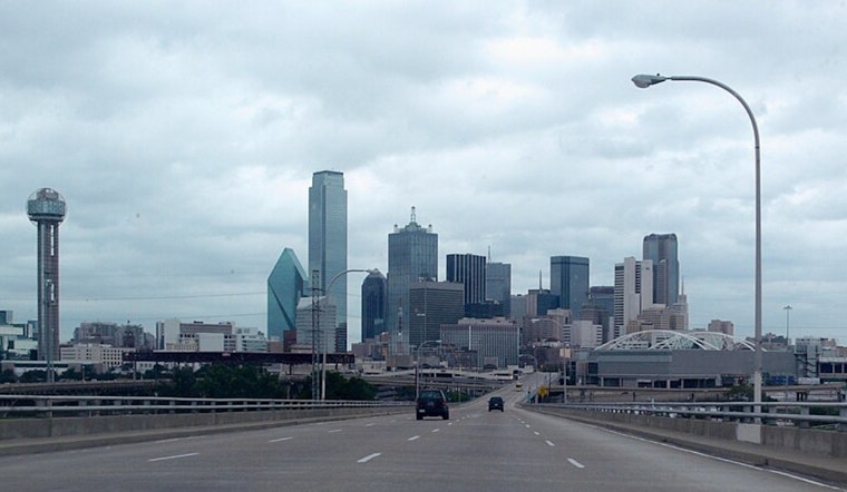
Southerly winds of 10 to 15 mph will push temperatures well above normal, making those upper-80s feel extra sticky for late March. The gusts could turn downright pesky, especially along bridges and open stretches of roadway, where high-profile vehicles and cyclists may have to fight to stay steady. If you have outdoor plans, consider this your heads-up to secure patio furniture and be ready for a blustery afternoon.
Storms Wednesday Night and Friday
Showers and thunderstorms are expected to fire up by tomorrow, with the best odds overnight and roughly a 70% chance of measurable rain. A second round is likely late Friday into Saturday, April 3–4. A few storms in these windows could turn strong or severe, and locally heavy rain may trigger brief flooding in low-lying or poor-drainage spots. This outlook comes from the NWS Fort Worth and continues the active pattern first flagged in from muggy calm to weekend chaos.
Plan Ahead
If you have evening plans tomorrow or anything on the books for the weekend, keep tabs on updated forecasts, since the exact timing of the storms could still wobble. Pockets of heavy rain are possible, so charge your devices, tie down or bring in loose outdoor items, and avoid driving through standing water — just a few inches can stall a car. Behind the front, cooler air moves in, with highs dropping into the 60s by Sunday, April 5.


