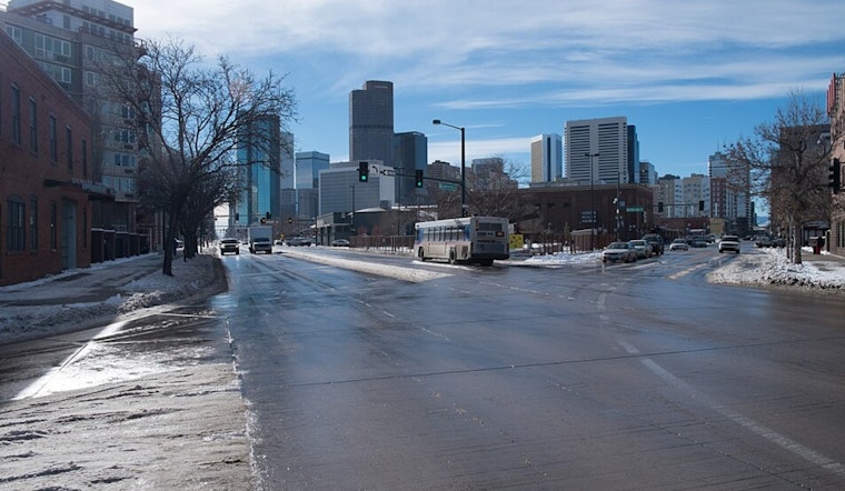
Denver woke up Monday, March 2, clear and cool at roughly 43°F, but the warmup will be quick. Temperatures are headed for the low 70s this afternoon under sunny to partly sunny skies, with a high near 73°F and southwest breezes strengthening as the day goes on. That warm, dry combo is raising some fire danger concerns across the Palmer Divide during the peak afternoon gusts.
Afternoon Winds and Fire Risk
Southwest winds of 5 to 9 mph this morning will ramp up, with gusts in the mid-teens and locally in the 20 to 30 mph range near and south of I-70. As humidity dips into the mid-teens, the area could see elevated to near critical fire weather conditions Monday afternoon, according to the National Weather Service Denver/Boulder. Skip open burning and spark producing work during the windiest, driest part of the day; earlier in the morning is the safer bet for outdoor chores.
Late Night Into Tuesday: Showers And Mountain Snow
Showers are possible late Monday night, with rain becoming more likely on Tuesday, March 3, as a cooler front moves through and highs drop into the low 50s across the plains. The mountains are expected to pick up accumulating snow Tuesday into Tuesday evening, with the heaviest totals north of I-70 and travel slowdowns possible on high elevation passes. Gusty north winds on Tuesday could add to tricky travel in exposed areas.
What This Means For Travel
If you are headed to the high country, expect wet, slick roads and slower drives, and build in extra time. Check conditions before you leave. The Colorado Department of Transportation recommends using COtrip and signing up for travel alerts so you are not surprised by closures or chain law requirements on I-70.
Bottom Line
Enjoy a warm, mostly dry Monday afternoon, but be ready for a cooler, wetter Tuesday and mountain snow through midweek. This post will be updated if any watches or warnings are issued.


.jpg)