Denver kicked off Thursday, March 5, with clear skies, a chill in the mid 30s, and the kind of calm that makes you forget it is still winter. A warm south-southwest breeze will shove afternoon highs into the upper 60s, perfect for a quick patio break. The calm will not last. A fast-moving system slides in late tonight, with evening rain flipping to snow overnight into Friday and setting up a very different scene for the Friday morning commute. If you have early plans or travel lined up, keep close tabs on how conditions evolve.
Afternoon Winds And Fire Weather
That pleasant warmth comes with a tradeoff. Southwest winds will crank up this afternoon, dropping relative humidity into the low teens across the Palmer Divide and parts of the eastern plains, with gusts expected in the mid 20s to around 30 mph. The National Weather Service has posted a Red Flag Warning for portions of the Palmer Divide and Lincoln County from noon to 6 PM MST today, so officials urge residents to skip outdoor burning or any spark-producing work during that window, according to NWS Denver/Boulder. With local brush and dry fuels primed, any flames could spread quickly in the gusty, dry air.
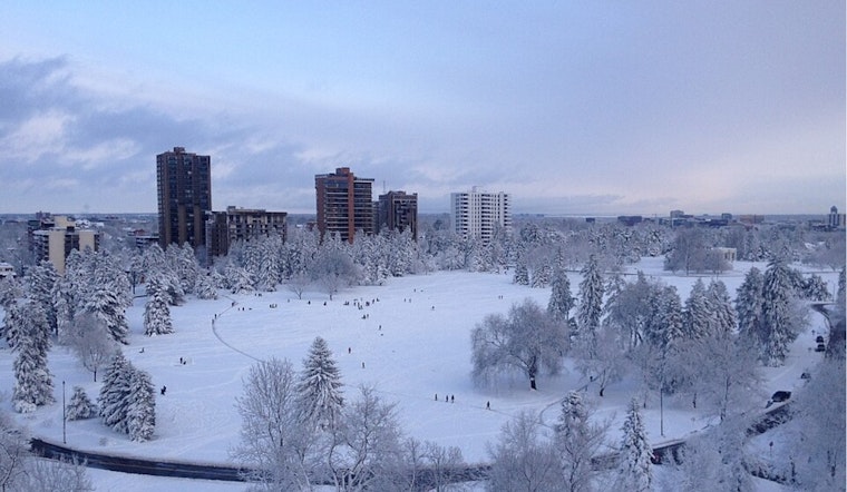
Thursday Night Into Friday: Rain Turning To Snow
Rain is likely to move in late Thursday evening, with a primary window from about 8 PM to 2 AM before temperatures dip enough to turn the rain into a rain and snow mix overnight. Most of the Denver metro area is projected to get light to moderate snow by Friday morning, generally in the 1 to 3 inch range, with higher totals over the foothills and mountains. Friday turns sharply colder, with highs near 37°F and increasing north winds. Brief heavier snow bands could cut visibility and quickly make roads slick. Expect slower travel for the Friday morning drive and build in extra time if you need to be out early.
Commute, Airports And Road Conditions
The timing of the changeover means bridges, ramps, and shaded stretches of I-25 and the Palmer Divide are the most vulnerable to icing and slick spots during the Friday commute. At the airports, flights at DEN, BJC, and APA could encounter gusty crosswinds and lower ceilings late tonight into Friday morning, so travellers should check airline status and road conditions before heading out. For real-time road reports and any closures, use COtrip and allow for some extra travel time.
Weekend Outlook
The storm system exits by Saturday and drier, milder weather settles back in, with highs near the low 50s on Saturday and climbing into the 60s by Sunday and Monday. For more on the setup that brought us here, revisit our earlier Hoodline coverage on slick commutes.


