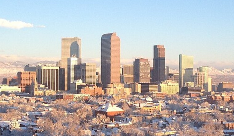
Denver woke up to blue skies and mild air on Sunday, March 29, with temperatures sitting around 59°F at the KBJC observation site shortly after sunrise. Those readings are expected to jump into the low 80s by mid to late afternoon, with a high near 81°F on tap. Sunshine should rule most of the day, but the warm and very dry setup is already laying the groundwork for stronger winds and a much different feel early in the workweek. A fast-moving trough is forecast to shove a cold front through the area late Monday night, March 30, into Tuesday, March 31, bringing a sharp cooldown and a shot at rain and mountain snow.
Afternoon Winds Pick Up
According to NWS Denver/Boulder, a Fire Weather Watch is posted for Monday, March 30, covering parts of the foothills and nearby plains. Forecasters say southwest winds are likely to crank up Monday, with gusts that could reach around 40 mph at times while afternoon relative humidity values sink to near 10 percent. That combination creates favorable conditions for rapid fire spread, so residents are urged to put off open burning and delay any spark-producing work until weather conditions become less volatile.
Cooler, Snowier Turn Tuesday
A shortwave disturbance will drive a cold front across the region late Monday into Tuesday, March 31, flipping the current pattern from warm and dry to cooler and wetter. The mountains are in line for the most impressive totals, with forecasters noting that northern ranges could pick up as much as a foot of new snow between Tuesday and Wednesday. Lower valleys and the plains are more likely to see mainly rain or a rain and snow mix. For more context on this early spring swing from warmth to fire danger, see how winds stoke fire fears, as per Hoodline. Travelers should budget extra time for slower driving over higher passes and be ready for possible chain requirements where snow piles up.
What To Do Today And Monday
If you have outdoor burns, brush clearing, or yard projects that might throw sparks on your weekend or Monday to-do list, it is safer to hold off until humidity rebounds and winds ease. Before the afternoon breeze really ramps up, secure patio furniture, trash bins, and any lightweight items that could turn into airborne projectiles. Brief but strong outflow gusts are also possible from any high-based showers that manage to develop. If your plans take you into the mountains on Tuesday, check local road and pass reports ahead of time and bring chains if they are required. Keep an eye on updated forecasts throughout the day and follow any local fire restriction notices that go into effect.


