El Paso is starting Tuesday, March 3, under clear skies and a mild 57°F with low humidity, but temperatures will not stay mild for long. A quick warmup is on tap, with afternoon highs forecast near 85°F, well above typical early-March readings. West winds will pick up through the afternoon, and the dry pattern is expected to hold into the evening.
Afternoon Heat and Gusty West Winds
Expect a high near 85°F this afternoon, with west winds between 3 and 14 mph and gusts up to about 21 mph, making today one of the warmest so far this season. Those readings are roughly 15–20°F above normal for early March and could challenge daily records in some lowland neighborhoods. If you will be outside during the warmest hours, plan on drinking plenty of water and finding shade when you can. According to the National Weather Service El Paso, this warm pattern is expected to hold through much of the week.
Thursday Dust Risk and Fire Weather Outlook
Thursday, March 5, brings the next change, with southwest winds expected to increase and areas of blowing dust possible between 11 a.m. and 5 p.m. Gusts could climb into the mid-20s. Fire weather indices are trending upward, and forecasters warn that conditions could approach near-critical levels later in the week, so avoid outdoor burning and make sure yard debris is secured. There is only a slight chance of showers by the weekend; otherwise, the outlook stays dry.
How To Plan
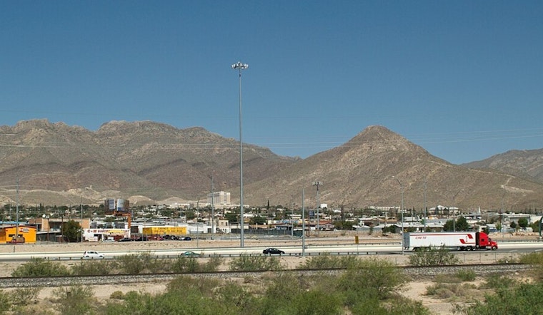
Shift strenuous outdoor plans to the morning or early evening, bring water and sun protection, and secure loose patio furniture before the afternoon gusts arrive. Drivers should be cautious on rural stretches of I-10 and other exposed roads, where brief dust clouds can quickly cut visibility. We first flagged this warmup in our Feb. 27 post; for background on the multi-day trend, see our earlier heat preview, as per Hoodline.


