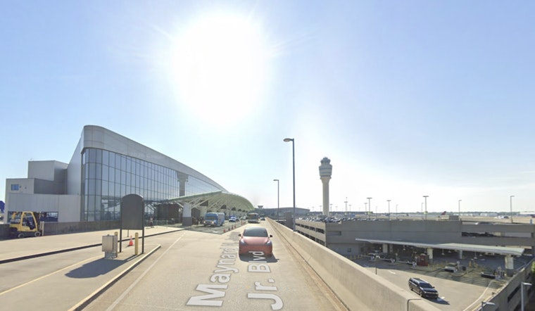
The federal spotlight is on five Georgia airports after the Federal Aviation Administration tagged parts of their airfields as surface "hot spots" - places where taxiway or runway layouts have a history or potential risk of runway incursions or collisions.
On the latest list: Hartsfield-Jackson Atlanta International, DeKalb-Peachtree (PDK), Augusta Regional at Bush Field, Columbus Airport (CSG) and Savannah-Hilton Head International. These hot-spot designations now appear on official FAA airport diagrams and stay there until either the airports or the agency take concrete steps to lower the risks.
Where the trouble spots are in Georgia
The FAA's consolidated "All Hot Spot" document breaks down each flagged location and highlights the kinds of twists and turns that can trip up pilots on the ground. At Hartsfield-Jackson, one callout focuses on the intersection of Taxiways C and D. At DeKalb-Peachtree, southbound traffic on Taxiway B can miss the turn onto Taxiway A if crews are not paying close attention. The agency's full list is available through the FAA, and the Georgia rundown was also highlighted by FOX 5 Atlanta.
What a "hot spot" actually means
The FAA defines an "Airport surface hot spot" as "a location on an aerodrome movement area with a history or potential risk of collision or runway incursion" and notes that these areas appear on airport diagrams as HS markers. Pilots and ground vehicle operators are expected to give extra attention when taxiing through any area labeled as a hot spot, according to the FAA.
Numbers and national context
The Georgia update comes as the FAA is tracking more close calls across the country. FOX 5 Atlanta reports that the national list now covers more than 150 designated hot spots and that the agency logged more than 1,600 runway incursions last year, with nearly 100 in January alone. Those numbers are helping drive new surface-safety reviews and technology rollouts at some of the nation’s busier airports.
What pilots and travelers should know
For the most part, hot spots are a planning tool for pilots, controllers and airport operations crews. They show up in FAA Chart Supplements and on airport diagrams, giving flight crews a heads-up on where they should slow down mentally and brief their taxi plans in more detail. For local reference, the FAA's FAA page lists HS1 precautions for DeKalb-Peachtree, and the agency's FAA page outlines guidance for the converging taxiway geometry at Columbus.
The FAA notes that hot spots "will remain charted on airport diagrams until such time the increased risk has been reduced or eliminated," so the markers are meant as alerts for heightened vigilance, not as a verdict that an airport is unsafe. Travelers with specific worries are typically best off checking airline notices or official airport communications for any operational impacts while the FAA and airport authorities continue to study and mitigate the flagged areas. Full descriptions of every hot spot on the list are available from the FAA.


