Knoxville is starting off warm and sticky, with mostly cloudy skies at the KDKX observation site and temperatures already in the upper 70s on Saturday morning, March 7, 2026. The high is expected to top out near 80°F this afternoon. Clouds should thin to give us a mostly sunny stretch for much of the day, but a line of showers and thunderstorms is likely to fire up by mid to late afternoon and carry into the evening. Southwest winds will ramp up this afternoon, with sustained speeds of 5 to 15 mph and gusts into the 30s, and the stronger storms could bring brief heavy rain and scattered power outages.
Afternoon Storms Could Be Gusty
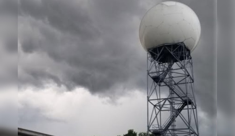
A line of showers and storms is expected to roll through late this afternoon into the evening, with the greatest threat for damaging straight-line wind gusts in the western parts of the forecast area. The National Weather Service Morristown says a quick-moving convective line could reach the Cumberland Plateau around 5 p.m. Saturday, March 7, 2026, then sweep east across central Knoxville during the evening, with gusts into the mid 30s possible. Small hail may tag along with the strongest cells, though forecasters say tornado chances are low in our area.
Heat And The Week Ahead
Temperatures will stay unseasonably warm into next week, with highs forecast in the mid 70s to low 80s on Monday, March 9, Tuesday, March 10, and Wednesday, March 11, 2026. Hoodline’s March 6 preview tracked the record-high dates and flagged the potential for repeated rounds of showers and storms into next week. Overnight lows will remain mild and at times muggy through midweek, so even after storms move out, outdoor plans may feel steamy.
Timing And Rain Totals
Showers are most likely after 3 p.m. Saturday, with about a 50% chance of late-day storms that climb to roughly 90% overnight as steadier rain pushes in. New rainfall amounts from Saturday night into early Sunday could reach a quarter to a half inch in heavier pockets, with lighter totals expected on Sunday as the system weakens.
What To Expect And How To Plan
Look for brief heavy downpours that can cut visibility and make roads slick during the evening commute, so plan for extra travel time and avoid driving through standing water. It is a good idea to secure patio furniture and other light outdoor items before the line arrives, and to keep a flashlight or battery-powered lamp handy in case of short-lived outages.
Forecasters will keep an eye on conditions and will post updates if the NWS issues any watches or warnings; check the National Weather Service Morristown and local media before you head out this evening. If you have outdoor plans tonight, you may want to move them inside or push them to Sunday, when conditions should be on the quieter side.


