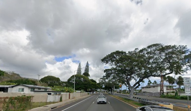
Honolulu is slogging through a soggy Sunday, with cloudy skies and about 76°F at Daniel K. Inouye International Airport on March 15, 2026, as bands of tropical moisture from a kona low stream over Oʻahu. Showers are rolling through and gusty southwest winds are turning the day wet and blustery, making commutes and outdoor plans a headache. Brief downpours and isolated thunderstorms remain on the table this afternoon into the evening.
What To Expect Today
Rain showers and a chance of thunderstorms are likely through Sunday, with a high near 81°F. Southwest winds of 18 to 23 mph are expected, with gusts up to 32 mph in spots. Any stronger cells could bring heavy downpours capable of brief urban flooding and sharply reduced visibility during the worst bursts. The National Weather Service Honolulu lists a high chance of rain this afternoon and evening and notes that some storms may be strong.
Watches And Advisories
Local hazard products in effect include a Wind Advisory until 6 p.m. HST this evening, a Flood Watch through late tonight for low-lying and drainage-prone areas, a High Wind Warning for Big Island and Haleakalā summits, and a High Surf Advisory for Kona–Kohala west-facing shores. Small craft operators should avoid exposed waters until conditions ease, and drivers should be ready for ponding on low-lying streets during heavier bursts of rain. For background on how this kona low developed and earlier watches, see our March 11 coverage of how the kona soaker put Honolulu on flood watch.
Marine, Travel And The Week Ahead
The kona storm is expected to begin lifting northeast today into Monday, which should gradually ease the strongest southerly winds and the heaviest rain bands. Even as the core pulls away, unsettled, light-and-variable conditions are likely to linger through much of next week. Highs near 80°F are expected on Monday with scattered showers and the possibility of renewed surf later in the week as trade winds try to reestablish. Check marine advisories before heading out - the NWS Honolulu cautions that small-craft conditions could persist in some channels tonight.
Quick Safety Notes
Do not drive through standing water - a few inches can stall a car or hide hazards - and secure loose outdoor items before the gustier periods hit. Keep phones charged, carry rain gear if you have outdoor plans Monday, and monitor local alerts for any flash flood or marine updates.


