Jacksonville started Thursday, March 12, in full sticky mode, with warm, humid air, temperatures hovering near 70°F and southwest breezes already building. A line of showers and thunderstorms is set to sweep east across the metro from mid‑morning into the afternoon, packing heavy downpours and gusty winds that could briefly tangle traffic and slow travel.
Line Of Storms Through Midday
Scattered showers are on tap this morning before storms ramp up around midday and into the early afternoon. Some stronger cells could drop heavy rain and brief damaging gusts, particularly inland toward the Suwannee Valley, with localized rainfall totals in the 1–3 inch range. Highs are expected to reach near 81°F, then slip back into the low 70s later in the day, according to the National Weather Service in Jacksonville.
Afternoon Winds And Boating Hazards
Winds will crank up ahead of the front, with sustained southwest breezes and gusts into the mid‑20s mph before the main line moves through. Boaters and beachgoers should plan for choppier seas and reduced visibility from heavy rain and sea fog. We flagged the evolving surf and rip‑current concerns in near‑record heat and storm setup. If you are thinking about heading out on the water, it may be smarter to hold off until the front clears and you have checked the latest conditions.
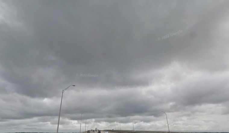
Commute And Airport Impacts
Frequent lightning, brief heavy downpours and gusty winds will likely slow the mid‑day and afternoon drive. Visibility can tank quickly in a stronger shower, so drivers should expect occasional white‑knuckle moments. Gusts could reach near 30 mph at times with pockets of stronger winds inland, so securing loose outdoor items and building in extra travel time will not hurt. The National Weather Service in Jacksonville has also issued marine advisories and is warning of a high rip current risk for Friday, so anyone with weekend beach plans should stay plugged into forecast updates.
Weekend Outlook
Warm, humid conditions are set to hang around through the weekend, with shower and thunderstorm chances climbing Sunday into Monday ahead of a stronger cold front. That system is expected to bring widespread showers and storms Sunday–Monday, followed by a much cooler air mass behind it and the potential for inland lows to dip into the mid‑30s Tuesday night into Wednesday morning. Forecast details on timing and intensity may still shift as the setup evolves, so it is worth keeping an eye on updates over the next few days.


