Sunday morning, March 15, Philadelphia woke to cool, partly sunny skies and temperatures in the low 40s, with an afternoon high near 56°F on tap. East winds of 5-15 mph will drag warmer, moister air into the region tonight, priming the atmosphere for rain late and a much higher threat for storms on Monday, March 16. Residents may want to keep the Monday evening commute flexible and lock down loose outdoor items before the wet weather shows up.
Evening Rain, Then Heightened Severe Risk Monday, March 16
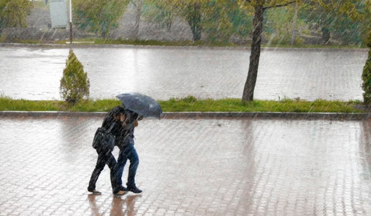
Late Sunday night, March 15-16, rain is likely between about 11 p.m. on Sunday and 2 a.m. on Monday, with totals generally running a few tenths of an inch. Forecasters at the National Weather Service Mount Holly expect a strong warm sector to build in on Monday, March 16, with showers and thunderstorms likely. Some storms could turn severe, producing damaging straight-line winds and localized flash flooding. The Storm Prediction Center has expanded the area into an Enhanced risk for Monday and notes gusts up to 40 mph in the strongest storms.
What To Expect
Temperatures are forecast to climb to near 67°F on Monday, March 16 ahead of the front, then tumble into the low 30s Monday night as the cold front sweeps through. South winds of 15-20 mph with gusts as high as 40 mph are likely during Monday’s storms, and new rainfall totals Monday could range from about a half-inch to an inch in spots. By Tuesday, March 17, the air turns much colder, with highs near 40°F and overnight lows dropping to the mid-20s.
Travel, Airports And The Water
Area airports may see ceilings and visibility drop into IFR territory late Sunday night into early Monday morning, so travelers should check airline updates before heading out. A Gale Watch is in effect for local coastal waters from Monday morning through late Monday night, according to the National Weather Service Mount Holly, so boaters should avoid leaving port or make sure vessels are well secured ahead of the strong southerly flow. Quick, heavy downpours can create standing water on roadways and sharply reduce visibility, so building in extra travel time Monday would be a smart move.
How To Prepare
Plan on rain gear and consider shifting outdoor events scheduled for Monday, March 16 indoors. Secure patio furniture, trash cans and other loose items before Sunday night to keep them from turning into projectiles in the wind. If power goes out, stay away from downed lines and report outages to PECO, keep phones charged and have a flashlight handy. This story will be updated if watches or warnings are issued.
Local Context
This piece updates Hoodline’s earlier March 11 forecast — earlier March 11 forecast — to reflect the increased severe-weather risk for Monday, March 16. For official watches and warnings, check the National Weather Service Mount Holly.


