Philadelphia woke up in a haze Monday, with patchy dense fog and temperatures around 39°F at Philadelphia International Airport cutting visibility and slowing some commutes. The murk is expected to burn off after sunrise, setting the stage for a sunny, springlike afternoon with highs near 70°F.
Foggy Morning, Sunny Afternoon
Dense fog is most widespread along the Delaware River, in low-lying neighborhoods, and along the coast. Coastal waters and parts of southern New Jersey and the Delmarva remain under advisories into mid-morning, according to the National Weather Service. Once the fog lifts, light southwest winds around 0–10 mph should help send temperatures into the upper 60s to near 70°F.
Warm Spell Through Wednesday
Unseasonably mild weather sticks around through Wednesday, with daytime highs mainly in the low to mid 70s and nights holding in the 40s and 50s. The National Weather Service's climate records show Philadelphia's record for March 11 is 74°F, which puts Wednesday's forecast warmth within striking distance of a record for some locations (NWS climate records).
Late-Week Front And Showers
A strong cold front is expected to move through late Wednesday into Thursday, bringing periods of showers, a chance of thunderstorms, and a stretch of gusty winds. Once the front passes, temperatures fall back toward seasonal levels and coastal seas turn choppier, so Thursday plans may call for both a rain jacket and an extra wind layer.
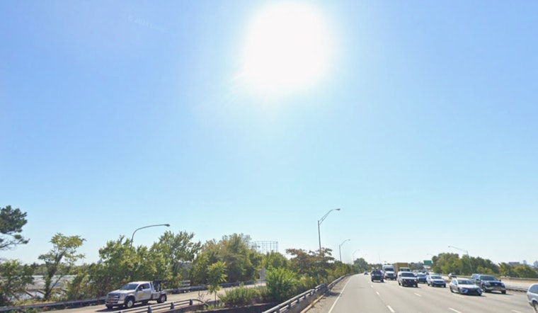
What To Know For Your Commute
Give yourself extra time this morning while fog reduces visibility, and check flight status if you are heading through KPHL, as IFR conditions are possible early at the airport. If you have evening plans from Wednesday into Thursday, keep an eye on updates, since showers and gusty winds could move in quickly once the front arrives.


