Philadelphia is waking up to a gray slog on Monday, March 23, with light rain and drizzle keeping temperatures stuck in the low 50s and the whole city feeling raw and damp. Showers are expected to hang around through the first part of the day before easing by mid-afternoon, but the real story comes later, when brisk winds make the afternoon feel much colder than the overnight warmth hinted at.
According to the National Weather Service Philadelphia/Mount Holly, highs should top out near 51°F with a 70% chance of showers before 2 p.m. North to northwest winds are forecast at 10 to 15 mph, with gusts picking up to around 25 to 35 mph by late afternoon. New rainfall totals of roughly a quarter to a half inch are possible.
Afternoon Winds Pick Up
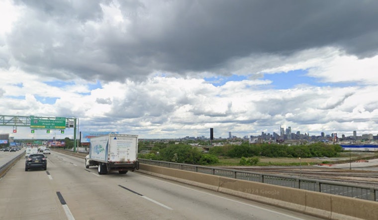
Later today, northwest gusts could reach about 30 to 35 mph, especially on exposed bridges and near the rivers, making travel a bit of a grind for cyclists and pedestrians. High-profile vehicles are urged to use extra caution on elevated roadways, and drivers in general may notice occasional blowing debris and restless tree limbs. The strongest gusts are expected from around midday into the early evening hours.
Marine And Boaters
A Small Craft Advisory remains in effect for Delaware Bay and parts of the coastal waters through early Tuesday. Seas are expected to build, and gusts over open water will be strongest Monday into Monday night. Anyone with plans to head out on the water should think about postponing or staying in sheltered harbor and should check the latest marine products from the National Weather Service Mount Holly.
What This Means For Your Commute
The steady morning drizzle could slow the early commute and leave roads slick, while blustery afternoon winds may make walking or biking home more of a chore than a choice. Drivers are advised to build in extra travel time, leave larger following distances in the wet conditions, and secure loose items on balconies, porches, or in yards before the worst of the gusts move in.
Outlook
Skies are expected to clear tonight, with temperatures dropping to near freezing in many neighborhoods. Tuesday should bring sunshine and highs close to 51°F. A milder trend then develops later in the week, although forecasters are keeping an eye on another round of rain that could move in sometime from late Thursday into Friday.


