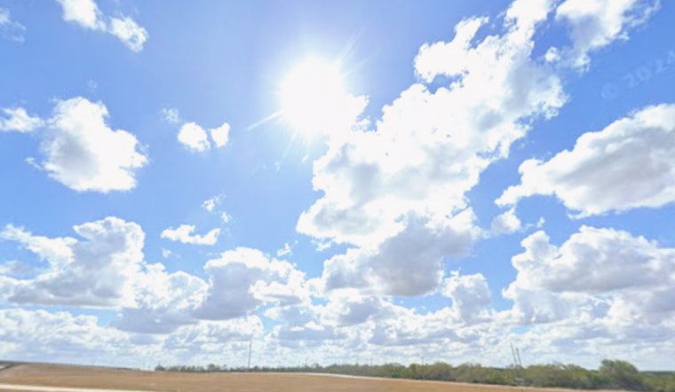
San Antonio woke up Tuesday, March 10, 2026, to thick clouds, muggy air and temperatures hovering near 72°F (22°C). By midafternoon, the city is expected to warm into the mid 80s before a band of showers and thunderstorms pushes in late Tuesday night. Most parts of town will likely see just a few light showers, but some late-night storms could turn heavier and gusty, so it is worth planning ahead.
Where The Strongest Storms Could Hit
Forecasters are flagging the southern Edwards Plateau and western Hill Country for the highest severe weather risk late this afternoon into tonight. According to the National Weather Service in Austin/San Antonio, that region could see large hail, damaging winds and isolated tornadoes, with the threat gradually easing as storms slide toward the I-35 corridor. San Antonio sits on the eastern edge of the risk zone, where the primary concerns are large hail and damaging wind gusts as any squall line weakens on approach to the metro.
What To Expect Tonight
Shower and thunderstorm chances ramp up after about 10 p.m. Tuesday, with forecasters putting the odds of measurable rain overnight near 70 percent and most spots picking up roughly one tenth to one quarter of an inch. Winds will blow from the south to southeast at 5 to 15 mph with gusts up to 25 mph, and brief heavy downpours could sharply cut visibility on area roads. If storms congeal into a line, a few pockets of stronger gusts or small hail are possible, although the most significant severe impacts are still expected west of the city.
Afternoon Commute And Outdoor Plans
For the afternoon, expect it to feel warm and sticky, with highs close to 85°F. Outdoor plans should allow for passing showers and occasional gusty breezes. It is a good idea to secure loose patio furniture or awnings before the windiest period arrives, and if you have evening events, bring rain gear and a backup plan. Avoid driving through standing water and ease up on the gas on wet pavement, since localized street flooding could pop up in low-lying areas.
Looking Ahead
On Wednesday, March 11, 2026, showers and thunderstorms are possible mainly in the morning hours, then skies should clear as a front moves through. The high is expected to reach near 82°F, followed by a noticeably cooler Wednesday night with lows near 52°F and north winds that could gust around 30 mph. By Thursday, conditions turn sunnier and drier with highs near 71°F.
Keep weather alerts enabled on your phone and take a quick look at radar if you plan to be out late tonight. For additional context and recent coverage, see San Antonio chokes on morning fog.


