Seattle got a rare treat Sunday morning: clear skies, cold air and a break from the soaking. Temperatures dipped to about 37°F at Boeing Field early on, but the city is in for a mostly dry day with highs near 51°F. Partly sunny skies and light north-northeast breezes headline the short-lived calm before a much wetter system barges in by midweek. This forecast breaks down what to expect for the commute, the shoreline and local rivers through Wednesday.
Today's Outlook
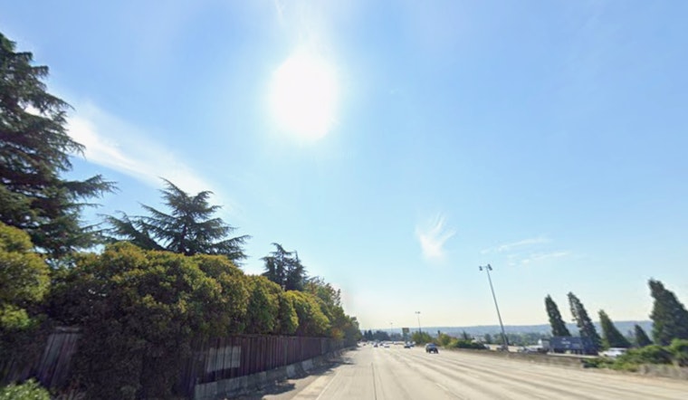
Sunday stays quiet and cooperative for outdoor plans. Look for partly sunny skies with a high around 51°F and light NNE winds of 2–6 mph. Rain chances are very low, so most of the day should stay dry right into the evening. Overnight, clouds build in and lows dip into the upper 30s as the next system approaches. According to NWS Seattle, widespread dry conditions hold on today before clouds thicken tonight.
Tuesday Into Wednesday
The quiet pattern starts to unravel late Monday night when a stronger Pacific front moves in and takes over on Tuesday, March 24, 2026. That system brings a high probability of rain along with gusty south winds. The NWS is calling for steady rain with about 0.25–0.5 inch possible Tuesday, and the strongest gusts are expected along exposed coastlines and across the north part of the region, where gusts over 45 mph are on the table.
Out on the water, conditions could get rough. Mariners should keep a close eye on updates, as ensemble guidance shows a real chance of seas topping 20 feet Tuesday night into early Wednesday. If those numbers verify, Small Craft Advisories or gale warnings may be issued.
Rivers And Commute
The Cedar River at Renton is projected to linger near Minor Flood stage through Monday because of dam releases, so people near low-lying crossings should stay alert to changing water levels. According to USGS, the Renton gage is currently tracking elevated flows.
On the roads, Tuesday's rain and wind are likely to kick up extra spray, reduce visibility and make untreated surfaces slick. Ferry riders could see slowdowns or choppy crossings during the strongest gusts, especially on more exposed routes.
How To Prepare
Plan on packing rain gear and building in extra time for any commute from Monday night into Tuesday, particularly if your route hugs the shoreline or relies on ferries. If your plans take you over the Cascades, be ready for mountain snow: snow levels are forecast around 5,000 feet in the central Cascades and closer to 2,500 feet in the north, so traction devices may come in handy.
Before you head out, check the latest NWS forecast, look at WSDOT mountain-pass updates and confirm schedules or alerts with your ferry operator.


