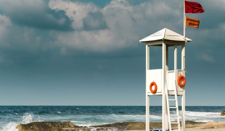
Honolulu is paying a premium to cut response times along one of Oʻahu’s riskiest stretches of coastline, snapping up roughly 2.72 acres across Kamehameha Highway from Shark's Cove on the North Shore for a long-planned first-responder hub. City leaders say the deal will let them colocate lifeguards and an ambulance unit closer to some of the island’s most hazardous beaches and, in theory, get help to distressed swimmers and injured visitors faster.
According to the Honolulu Star-Advertiser, the city paid about $24.6 million for three mauka parcels next to the Foodland market in Pūpūkea. Officials told the paper they envision a single facility that would house Honolulu Ocean Safety operations alongside an Emergency Medical Services ambulance unit, creating a consolidated North Shore base.
Site Details And Official Paperwork
City planning documents list the land as Tax Map Keys 5-9-011:068, 069 and 070, totaling roughly 2.72 acres, details that show up in Honolulu City Council records. To clear the way for buying and building on the site, the Council amended the Public Infrastructure Map to add a government-building symbol over the parcels, a formal prerequisite before it can legally appropriate money for land acquisition and construction. Honolulu City Council files spell out the PIM change and identify the parcels under review.
Why Supporters Pressed For Public Ownership
Ocean Safety staff and North Shore advocates have spent years calling for a permanent base in the area, pointing to an elevated number of drownings and long gaps between ambulance calls along that run of coast. Reporting by Honolulu Civil Beat has highlighted hazardous conditions at Ke Iki, Sharks Cove and nearby beaches, arguing that additional infrastructure can help bring down fatalities when it is paired with staffing and public outreach.
Mayor Rick Blangiardi first flagged the city’s interest in the Pūpūkea parcels during his State of the City remarks, later confirming that his administration was negotiating with the landowner. Coverage by Hawaii News Now captured that early announcement and the community’s initial reaction.
What Comes Next
With the PIM symbol already in place, the Council had authority to set aside cash for the project, and Ordinance 25-39 ultimately included $26 million in the city’s FY2026 executive capital budget for land acquisition. That money can now be applied to the purchase and follow-on work. Honolulu City Council documents note the appropriation and outline the remaining permitting steps, including appraisal, Special Management Area considerations and design work. City officials say due diligence, permitting and site planning will determine the timeline for design and construction.
Residents who previously fought a large commercial project on the land have welcomed the pivot to public ownership, even as the administration warns that procurement and permitting hurdles still stand between the city and a functioning hub. Local outlets reported in late 2025 that staff expected the closing process and follow-up steps to take time while appraisals and inspections were completed, and community leaders urged the city to move quickly now that the property is in public hands. Aloha State Daily coverage captured those earlier remarks from the mayor’s office and nearby residents.


