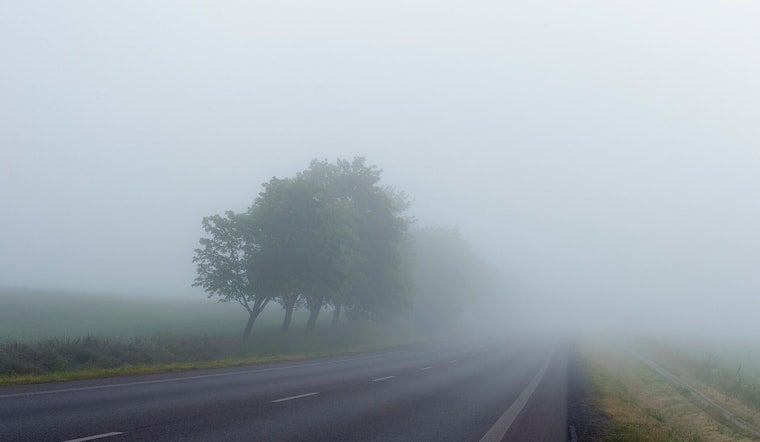
Seattle woke up to a messy mix of light snow and pockets of dense fog this morning, trimming visibility and slowing the rush-hour grind. Surface temperatures are sitting in the mid-30s, so wet snow may briefly stick to grassy and elevated spots whenever the showers pick up, and drivers should be ready for slick bridges and reduced visibility on the roads.
What To Expect Today
Rain and a rain-and-snow mix are expected to hang around through the morning before easing into patchy fog and light rain by midday, with a high near 41°F. Snow levels start out low, around 300 to 1,000 feet, which means central Puget Sound could see periods of wet snow or a mix before snow levels climb above 1,000 feet later this morning. Any lowland accumulation should be spotty and mostly confined to grass, elevated surfaces and the foothills.
The National Weather Service Seattle is also calling for continued heavy mountain snow, with another 1 to 3 feet possible on Cascade passes and several inches across the Olympics. Portions of the southwest interior, including parts of the Chehalis basin, remain under a Flood Watch, with rainfall totals of about a quarter to a half inch possible in heavier bands.
Mountains And Travel
Travel across the passes will be challenging, with difficult conditions at pass level and possible chain requirements on routes such as Stevens Pass and Snoqualmie while the heavier snow continues. Road and ferry conditions are changing quickly across the region; for a deeper look at the evolving weather watches and trip planning, see how rain, wind and a Cascade blizzard line up to soak Seattle.
How To Prepare
Give yourself extra time for the commute, ease off the gas on bridges and use low beams in fog. If you are heading over the passes, bring traction devices and check WSDOT before you go. At Sea‑Tac, plan for reduced ceilings and visibility and the chance of snow briefly sticking to pavement during the heaviest bursts this morning, roughly between 3 a.m. and 9 a.m. Residents near low rivers should keep an eye on local gauges and steer clear of standing water on the roads.


.jpg)