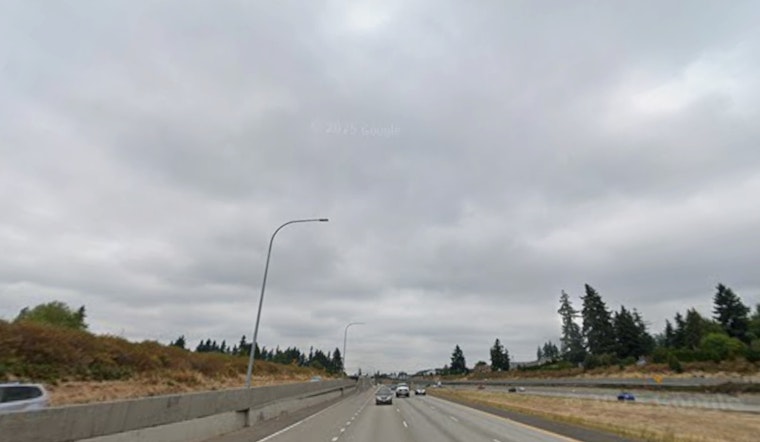
Wednesday, March 11, 2026: Portland woke to steady light rain, fog and mid 40s temps at PDX, and that is just the opening act. A long-lived atmospheric river is parked over the region and will keep steady, sometimes heavy rain over the metro through Friday, turning some commutes into slow, soggy slogs. South winds are set to crank up by this afternoon, so expect bouts of heavier downpours and blustery conditions on top of it.
Heavy Rain, Mountain Snow and Flooding Risk
Showers are likely all day Wednesday with a high near 53°F, with roughly three quarters of an inch to 1 inch of new rain possible through the day. Wednesday night the system intensifies, and another 1 to 2 inches could fall.
Over the full 72-hour event, storm totals for Portland could land in the roughly 2.5 to 5.5 inch range in the wettest scenarios, while the south Washington Cascades pick up significant mountain snow. The long duration of this setup bumps up the risk for minor flooding on some rivers, including about a 40% chance on the Nehalem River near Foss and the Wilson River near Tillamook, with elevated levels expected on other streams as well. These details are from the NWS Portland.
Afternoon Winds Pick Up
Southerly winds across the lowlands will mostly run in the single digits to mid teens, but gusts may punch up to around 30 to 35 mph inland, with higher readings on the coast and along exposed ridgetops. Coastal spots and wind-prone areas of the Willamette Valley are in line for the strongest gusts, and heavier rain bands could briefly knock down visibility.
At Portland International Airport, look for low ceilings and gusty crosswinds at times, the kind of mix that can mean delays or trickier-than-usual approaches for pilots and passengers.
Marine Warnings and What to Know
Over the coastal waters north of Cape Falcon, gale-force conditions are expected this afternoon into early Thursday, with seas building into the mid teens in feet and very hazardous surf at the Columbia River Bar. South of Cape Falcon, small craft advisories remain in play while the seas stay up.
Mariners should steer clear of exposed waters while the wind and waves are at their peak. On land, secure loose outdoor items, avoid low spots that tend to flood, and give work crews plenty of room if you run into standing water or downed branches.
Plan Ahead
Through Friday, build in extra time for travel, ease off the gas on wet roads and keep an eye on conditions if you are headed for higher terrain or the coast. If you are relying on flights or ferries, check with your carrier in case weather throws off the schedule.
For the latest weather advisories and river forecasts, stick with NWS Portland and official transportation pages. We will update this bulletin as warnings change through the rest of the week.


