St. Louis woke up to clear skies and springlike air on Sunday, March 15, 2026, with temperatures hovering around 63°F at area observation sites. It will not stay that way for long. A fast-moving system is set to shove a line of showers and isolated thunderstorms into the region from late morning into early afternoon, with strong southwest winds ramping up through the day ahead of a sharp cold front that sends temperatures plunging tonight.
Afternoon Gusts And Storm Risk
By midday, expect those southwest winds to really get moving. Sustained speeds are forecast in the 12 to 22 mph range, with gusts that could spike to 40 to 50 mph. A Wind Advisory remains in effect for the region into Monday. Scattered storms are possible from late morning into early afternoon, bringing brief heavy downpours and damaging straight-line winds, although the greatest severe threat is expected to stay well southeast of the city.
According to NWS St. Louis, gusts of this strength can easily toss around unsecured outdoor items and trigger isolated power outages.
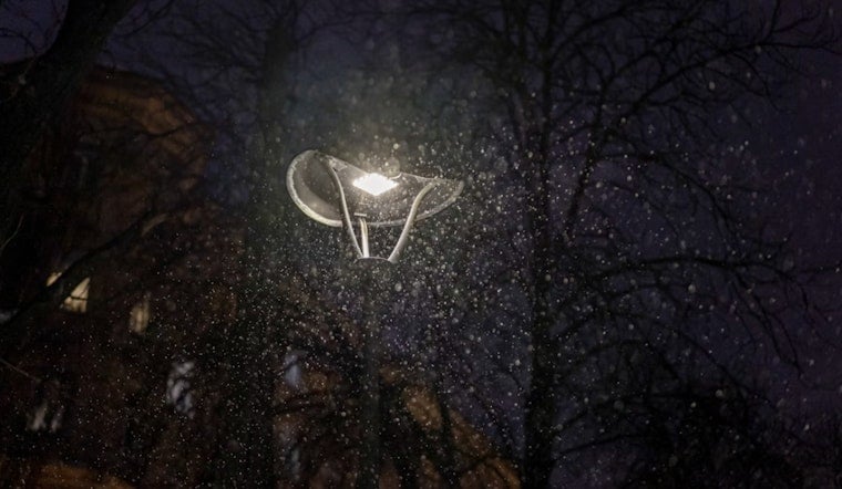
Evening Rain Then A Taste Of Snow
Rain is likely to linger into the early evening before colder air sweeps in behind the front. After about 10 p.m., some locations could see the rain flip to a brief period of light snow, especially across northern parts of the area. Most neighborhoods should only pick up a dusting to about a half-inch, but isolated spots north of Highway 36 and Interstate 72 could see 1 to 3 inches.
Winds will stay gusty overnight as temperatures fall hard toward a low near 22°F. With that combination of cold and wind, untreated roads and sidewalks could turn slick, particularly late at night and into early Monday.
Commute And Safety Tips
Drivers may want to pad their travel time this afternoon and evening. Gusty crosswinds can make handling tricky, especially on bridges, overpasses, and other exposed stretches. High-profile vehicles are particularly vulnerable. Around the house, it is a good idea to secure patio furniture, tarps, and trash cans before the worst of the wind arrives, and to keep a flashlight and phone charger within reach in case of brief outages.
For background on the recent run of strong breezes and local impacts, see Hoodline's Feb. 24 report on the recent run of gusty weather.
What Comes Next
Unseasonably cold air settles in on Monday, with the high struggling to reach about 31°F and lows Monday night dropping into the mid-to-low teens. Wind chills could dip near zero across many neighborhoods. The cold shot will not last long, though. By midweek temperatures start to rebound, with readings climbing back into the 60s on Wednesday and into the 70s by Thursday as milder, drier air builds in.


