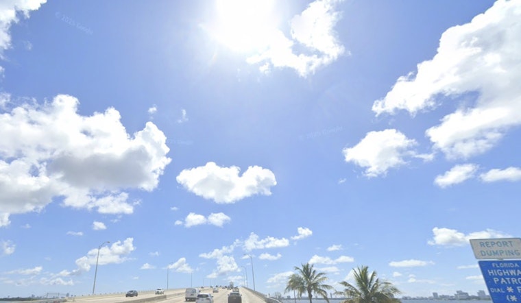
Early risers at Miami International Airport woke up to clear skies and a mild 72°F as of 5:40 a.m. EST Monday, March 2, 2026. The air near the coast is already plenty muggy, so it will feel sticky through the morning while breezy east winds get set to crank up this afternoon. A Rip Current Statement is in effect for Atlantic beaches starting at 10 a.m. Monday, March 2, 2026 and running through Wednesday evening, March 4, 2026, creating dangerous shore conditions for swimmers and small craft.
Afternoon Gusts And Passing Showers
Monday afternoon, March 2, 2026, stays mostly sunny with a high near 78°F, but it will not be calm on the water. East winds of 10 to 14 mph, with gusts up to 18 mph, will leave the surf choppy and can send loose beach gear tumbling if it is not secured. There is a 20–30% chance of showers or an isolated thunderstorm before 3 p.m. Monday, although any downpours should be brief and on the lighter side. According to the National Weather Service Miami, small craft may encounter hazardous conditions offshore.
Beach Safety
Dangerous rip currents are expected along Atlantic beaches through Wednesday evening, so this is a week to respect the flags and the lifeguards. Swim only at lifeguarded beaches and follow posted warnings. If you are pulled offshore in a rip current, float and wave for help instead of trying to power straight back to the sand. For more on how the surf has been shaping up, check out our fog-choked morning as rip currents roil area beaches.
Week Ahead
Breezy easterly flow is expected to hang on through the work week, keeping daily shower chances in the low to moderate range and coastal highs in the upper 70s to low 80s. Inland neighborhoods could heat up a bit more later in the week, with highs possibly reaching the upper 80s to low 90s by Friday, March 6, 2026. Boaters and beachgoers should keep an eye on local forecasts and lifeguard updates before heading out.


