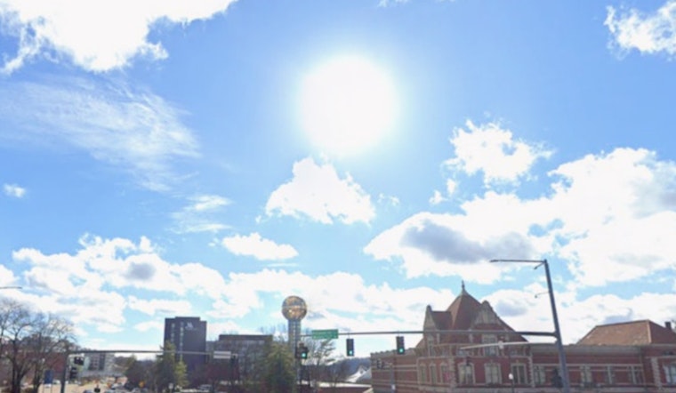
Knoxville woke up to blue skies Saturday, but the calm look is hiding a breezy, high-fire-risk kind of day. Morning temperatures near 40F are set to climb into the upper 50s to around 60 this afternoon, with northeast winds near 10 mph and gusts up to 25 mph. The air stays dry, which means low afternoon humidity will push fire danger higher across parts of the region, especially south of I-40. Tonight stays mostly clear, with lows in the mid-30s and pockets of near-freezing air north of the city and in higher terrain.
Afternoon Winds And Fire Danger
The strongest gusts are expected from late morning into the early afternoon, with valley and ridge spots briefly seeing higher gusts. Forecasters note that gusts could approach 30 mph across the highest elevations. An Enhanced Fire Danger Statement is in effect for areas south of I-40, so officials are urging extra caution with any open flames or spark-producing equipment, according to the National Weather Service in Morristown.
Tonight And Sunday
Tonight brings mostly clear skies, light northeast winds, and a low near 36F in Knoxville. Northern counties and higher terrain could slip to near or even below freezing. Sunday turns noticeably warmer and brighter, with southwest breezes and highs pushing into the upper 60s to near 70F. Those lighter winds will briefly ease fire risk, although the air will stay on the dry side for many spots.
Midweek Outlook
The first half of next week leans into a springlike warm-up, with highs in the 70s on Monday and near 80F by Tuesday. Rain chances start to climb by midweek as a front approaches. Forecasters are keeping an eye on Wednesday into Thursday for a more widespread stretch of wet weather that could help ease drought and wildfire concerns. If you have outdoor work or events lined up later in the week, plan around scattered showers and the possibility of thunderstorms.
How To Stay Safe
Hit pause on any open burning and avoid using gear that can throw sparks while the Enhanced Fire Danger is in effect. Check state rules and permit requirements before lighting yard debris on either public or private land through Tennessee’s burn safety page, BurnSafeTN. Around the house, secure loose lawn furniture and keep a charged phone handy if you will be outside, and keep an eye on local alerts and the latest forecast before evening plans. On the roads this afternoon, be ready for gusty cross-winds on exposed stretches and leave extra room for stopping if the breeze kicks up.


