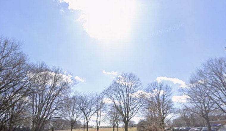
Milwaukee started Sunday on the cool, breezy side, but the city is expected to warm into the low 60s this afternoon under partly sunny skies. Southwest winds around 10 to 15 mph will be noticeable, and neighborhoods close to the lake may catch a few extra gusts that take the edge off the warmth. Outdoor plans are generally in good shape through mid-afternoon, as long as folks take a couple of common-sense precautions.
Those gusty southwest winds combined with drier air could bring pockets of elevated fire weather, especially west of I-41, so this is not the afternoon for debris burning or casual open flames. It is also a good idea to secure lighter patio furniture and keep an eye on anything that might blow around near the lakefront. If you spot smoke or an uncontrolled burn, contact local authorities rather than assuming someone else will make the call.
Monday Night Into Tuesday
A slow-moving front is expected to slide through Monday night into Tuesday, bringing rounds of rain and thunderstorms, with a few storms capable of becoming strong to severe with hail and brief heavy downpours. New rainfall totals of about a quarter to a half inch are on the table, and any repeated storms tracking over the same spots could lead to localized urban flooding. Forecasters at the National Weather Service Milwaukee/Sullivan advise keeping an eye on updated forecasts as the timing and exact placement of storms becomes clearer.
Travel And Boating
Drivers should plan for slower-going conditions Monday evening into Tuesday as downpours and lightning cut visibility and naturally reduce traffic speeds. Boaters are urged to stay in port unless conditions are clearly favorable, since winds will shift and gusts may ramp up near the frontal passage. Air travelers using Mitchell Airport late Monday night or early Tuesday morning should allow extra time and check with their airline for any weather-related schedule hiccups.
Late-Week Outlook
Behind the front, cooler air settles in, with highs only in the low 40s on Wednesday and a chance for light snow Wednesday night into Thursday. Some areas could see isolated slushy accumulations of around an inch or two. The weather pattern stays active into next weekend, with additional rain likely later in the week as temperatures swing between the 30s and 50s. Forecast details on timing and amounts will continue to be updated as new data comes in.


